-
By
- January 5, 2022
- Forest Geopark Hiking trail Insects/Wildlife Leisure & recreation Mountain Region Nature Portugal Presépio Tourist attraction Waterfall
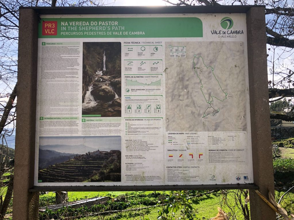
NA VEREDA DO PASTOR HIKING TRAIL (VALE DE CAMBRA PR3 VLC)
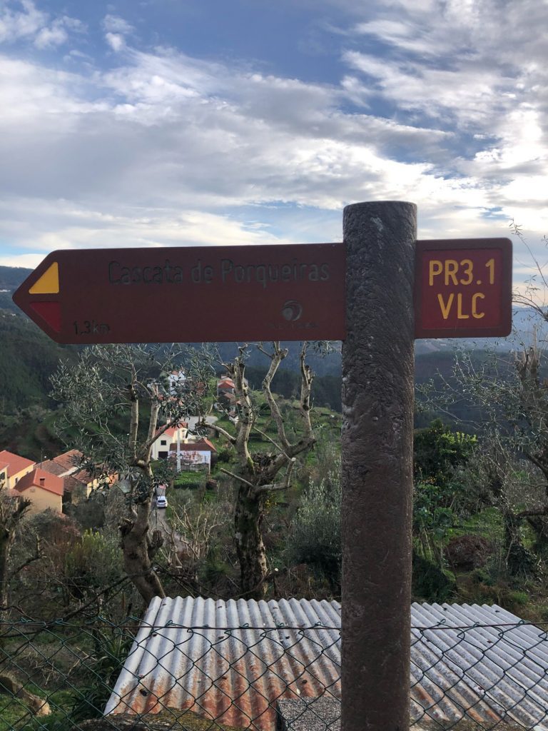
What better way to cure a hangover than a hiking trip to Vale de Cambra! It is the 1st January 2022 and the sun is shining a glorious 21c so I planned an amazing hiking trip to kickstart the new year. We had so much fun on our previous visit to Serra da Freita so we decided to return and embark on an official hiking PR trail. Vale de Cambra is a 1 hr and 45 min journey from our casa and 135 km by car. The trail runs along the southern slopes of Serra da Freita and leads us along ancient shepherds’ paths between the villages of Côvo and Lomba. There are spectacular landscapes, valleys and forests and I fell in love with the quaint tiered terraces and traditional granaries. We got the pleasure to view 2 magical waterfalls (Cascata das Estacas and Cascata das Porqueiras) as well as the abandoned villages of Porqueiras and Berlengas. I have added the full list of points of interest below. The PR3 VLC is the main circular trail which is 7.5 km in length but I strongly recommend that you add on the PR3.1 which is a further 2.8 km. The 3.1 includes the spectacular Porqueiras waterfall as well as Porqueiras and Berlengas abandoned villages.
GPS COORDINATES: 40.50’47.57’’N 8º15’35.72’’W
Points of Interest:
- Côvo
- Cascata das Estacas (Stakes Waterfall)
- Agualva
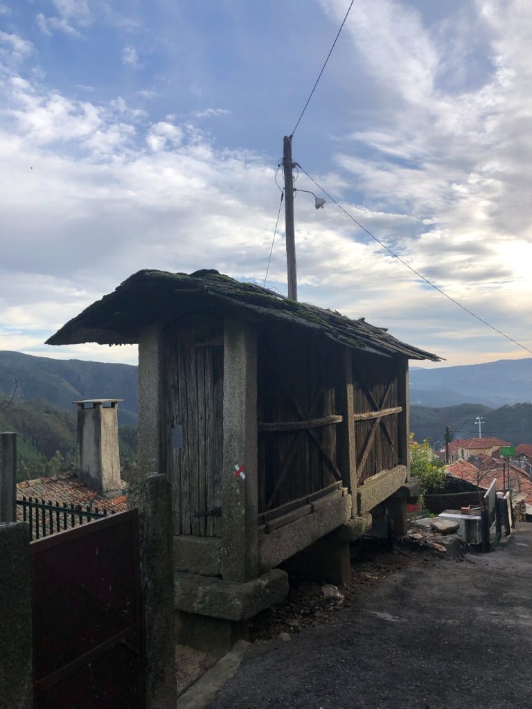
- Lomba – Núcleo de Espigueiros / Canastros e Capela de N. Sra dos Milagres (Granaries – “Espigueiros” and the Chapel of Our Lady of Miracles)
- Canhão das Estacas (Cannon of Stakes – Canyon)
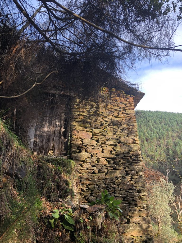
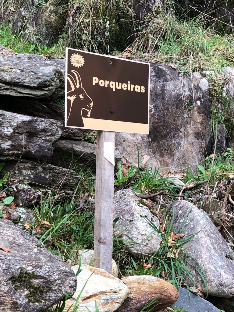
- Porqueiras (Aldeia abandonada (Abandoned village)
- Cascata de Porqueiras (Porqueiras Waterfall)
- Vale da Ribeira de Agualva (Valley of the Agualva River)
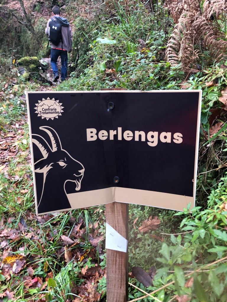
- Berlengas (Aldeia abandonada (Abandoned village)
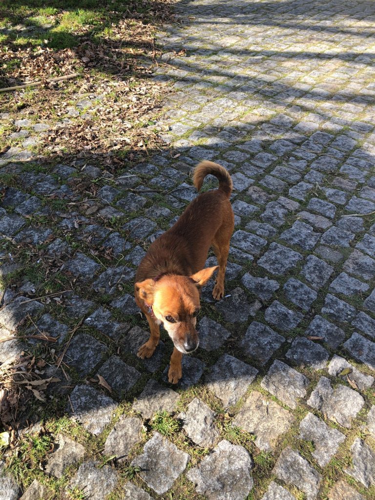
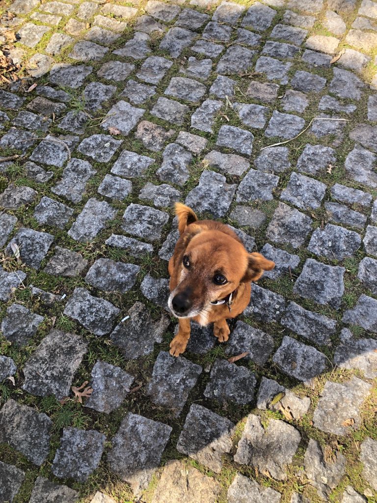
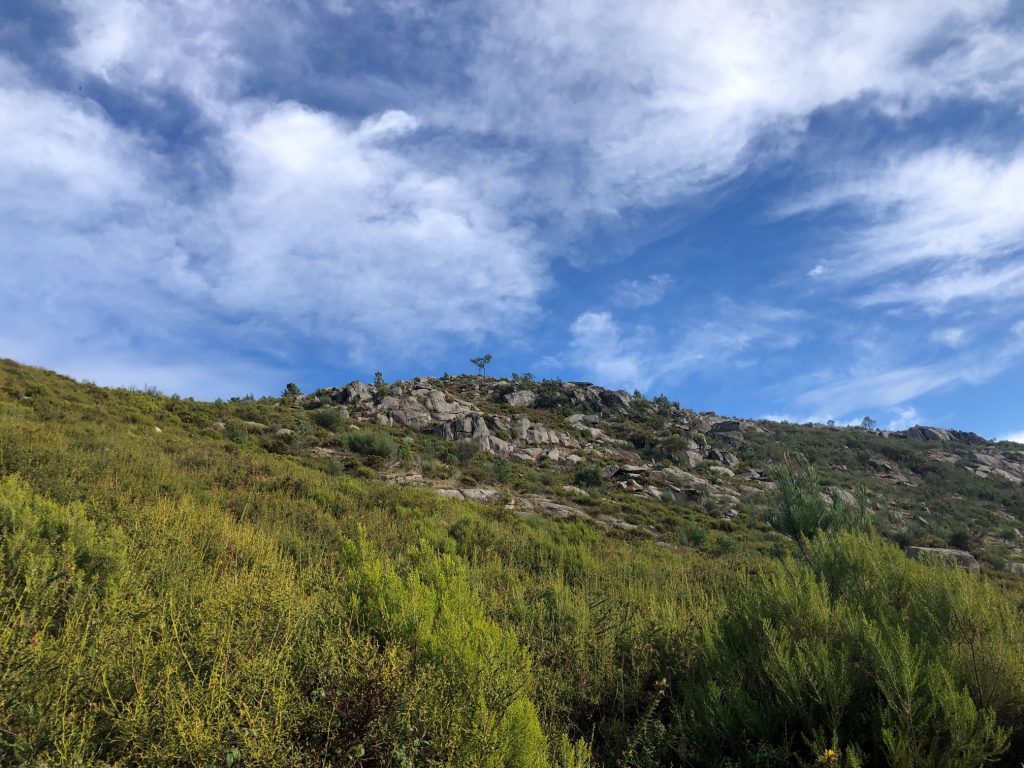
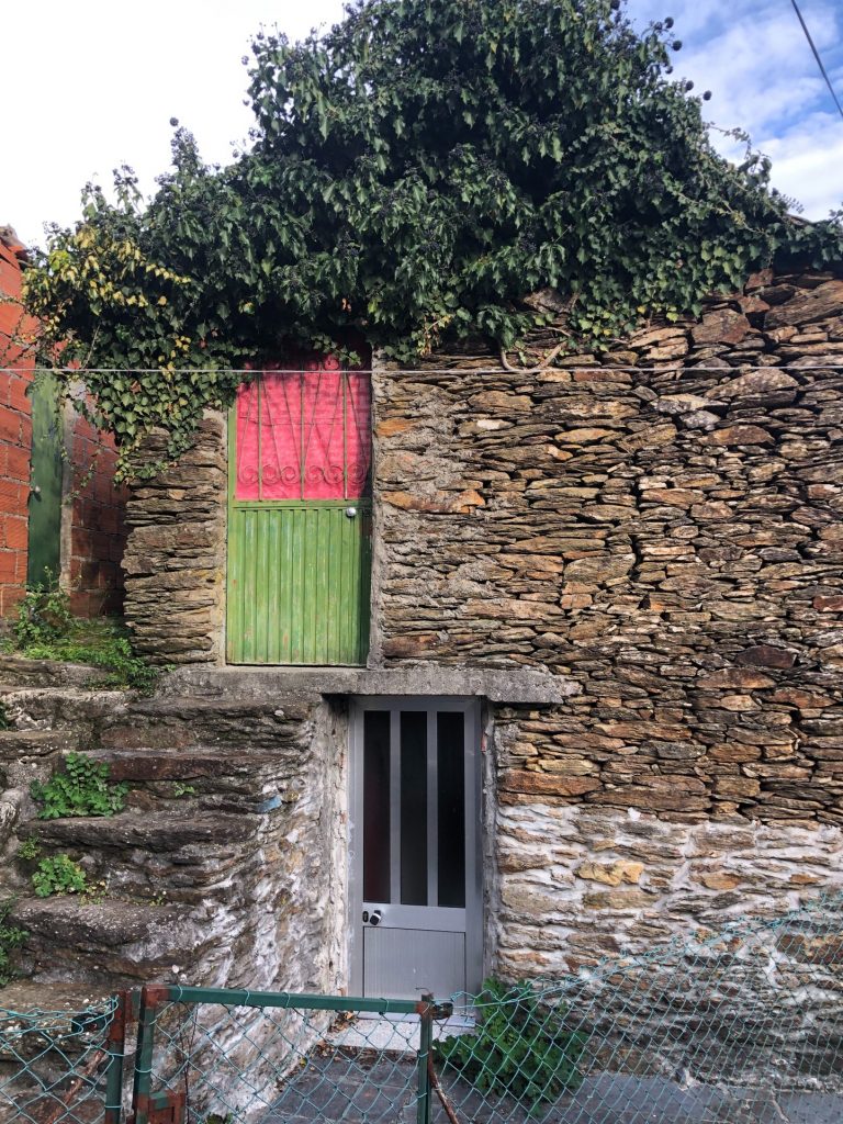
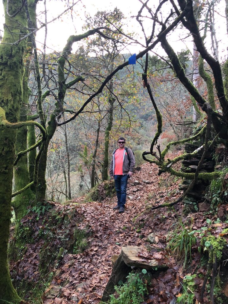
Captivating Côvo and the Tour Guide Dog
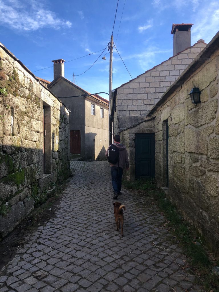
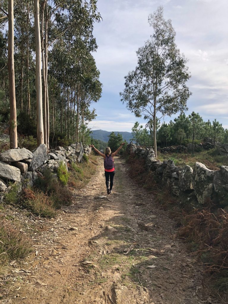
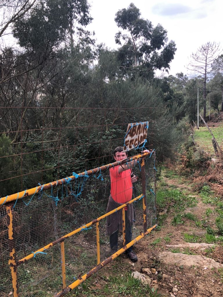
The trail begins in the village of Côvo which is located in the Parish of Arões, Municipality of Vale de Cambra and district of Aveiro. Côvo is the highest village in the municipality of Vale de Cambra, at 930m altitude and is located on the southern slope of the Freita Mountain Range. We parked up right next to the Information notice board and I set my new Garmin watch to start to record my distance and activity. As soon as we exited our car a little friendly dog approached us and took quite a fancy to me. He was very cute but had a collar so obviously owned by someone so I couldn’t take him home with me. We struggled a little bit to find the exact start of the trail and wandered around the little village which alerted every dog in the village and started off a chain reaction barking session (ha ha). The little friendly dog started barking at us when we went the wrong way and led us to the correct starting point, a narrow pathway between the 2 houses at the end of the village. Bless this little chappy. Maybe he is an official tour guide dog (ha ha). He then joined us on the first part of the trail before turning back and continuing on his merry way home.
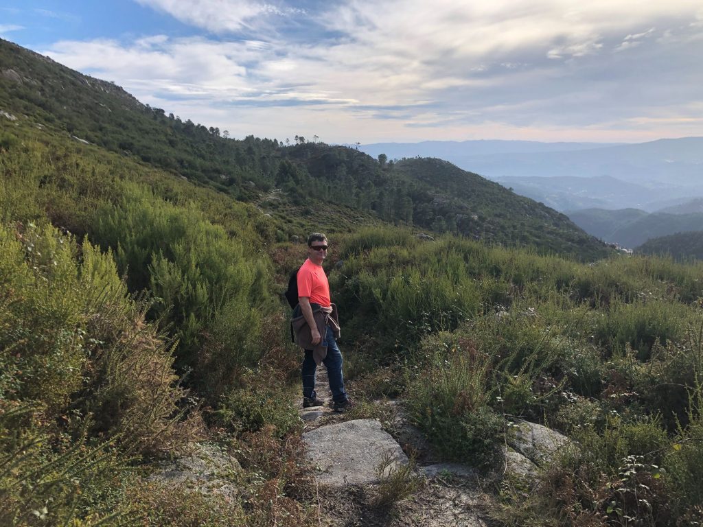
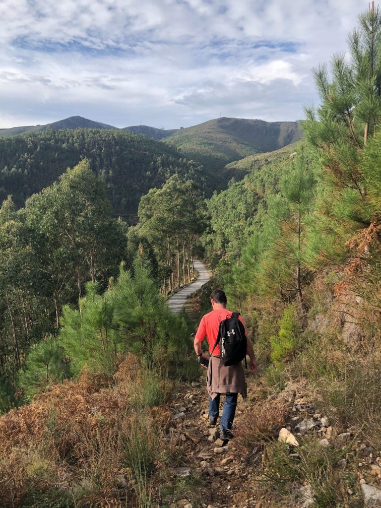
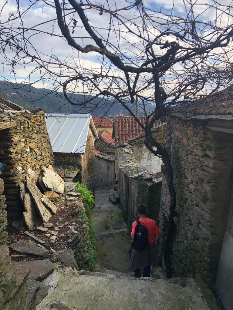
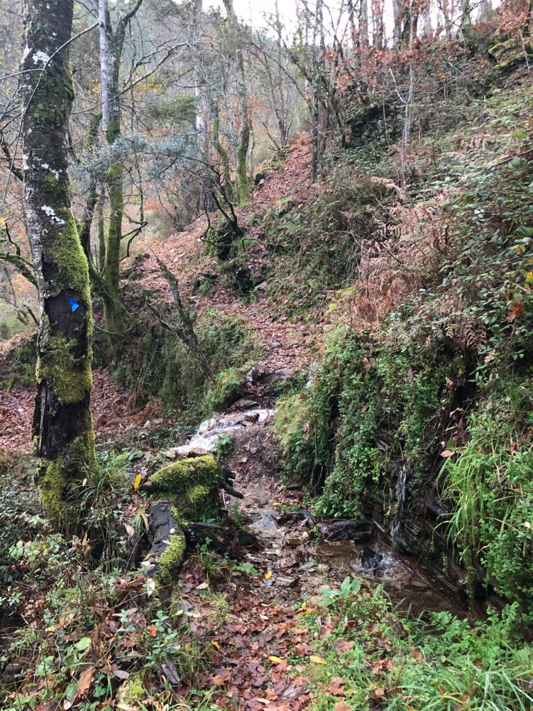
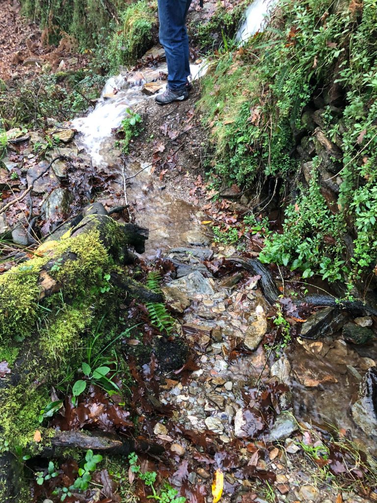
Wet, Wild and Poopy Pathways
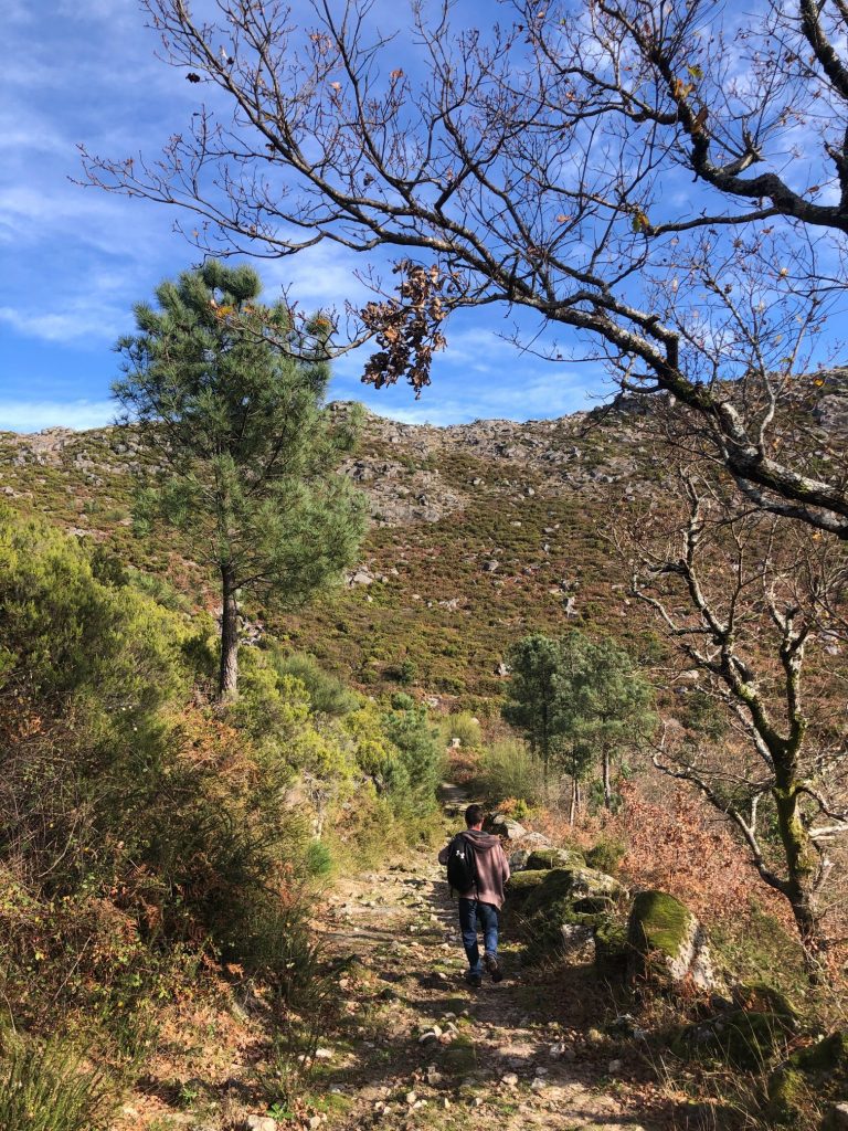
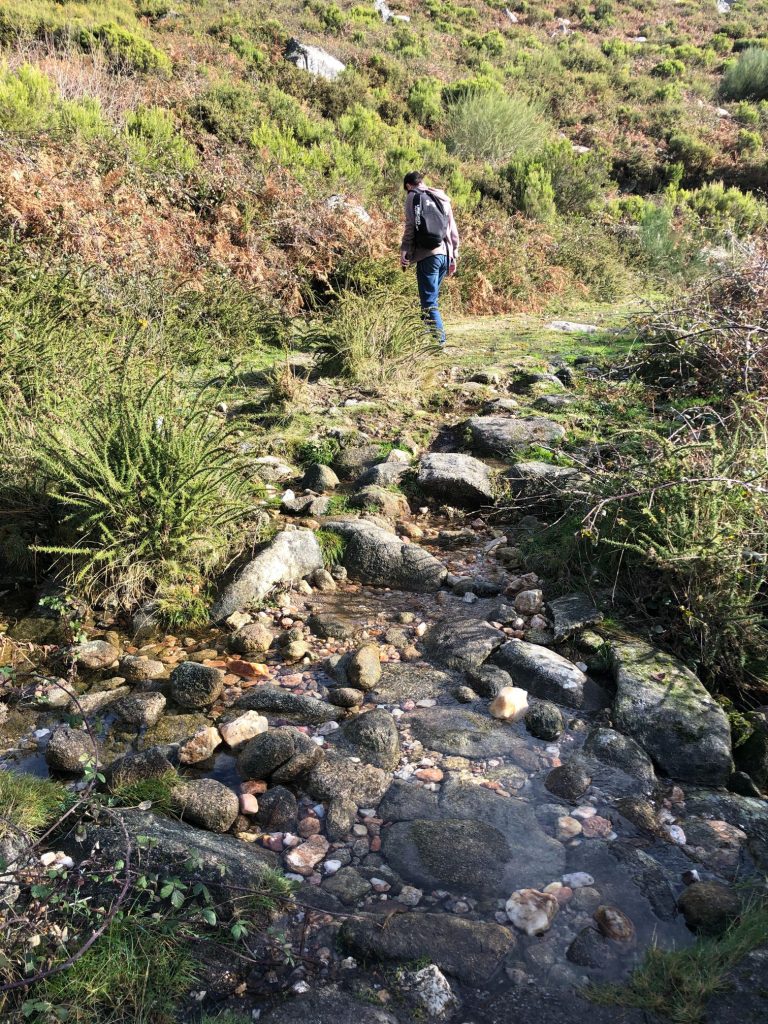
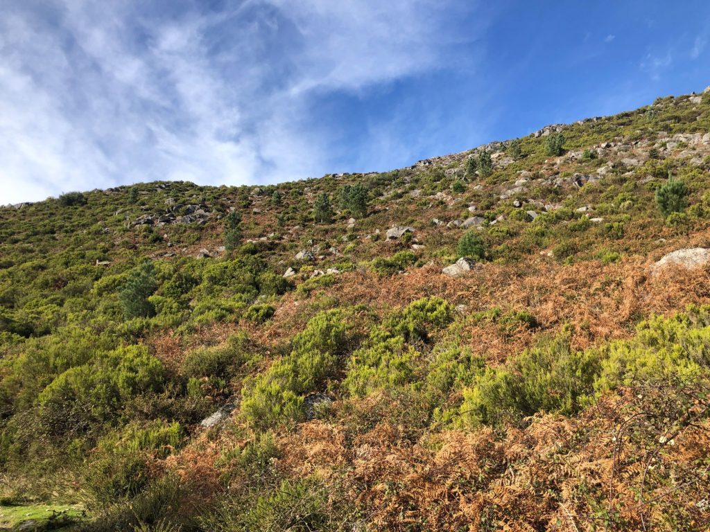
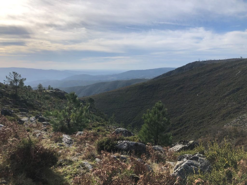
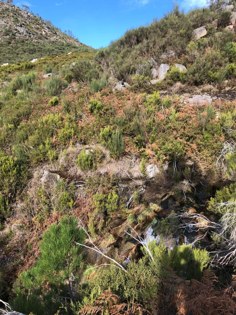
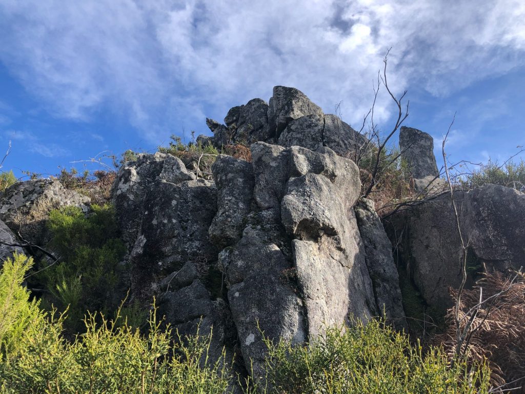
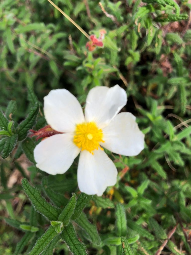
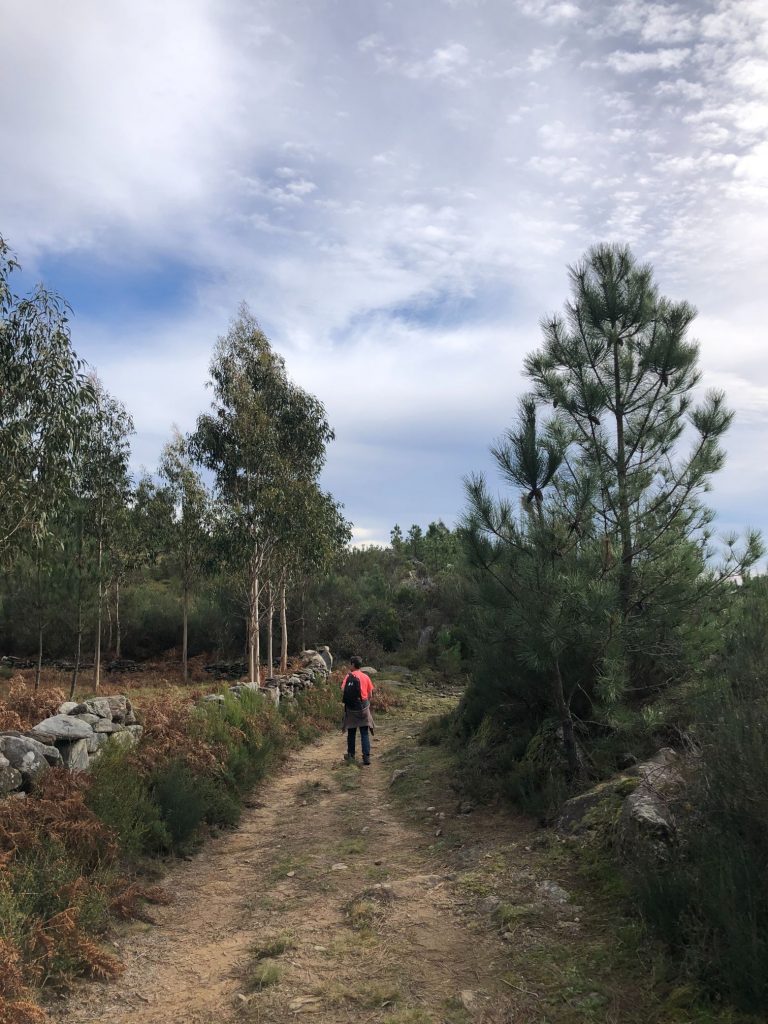
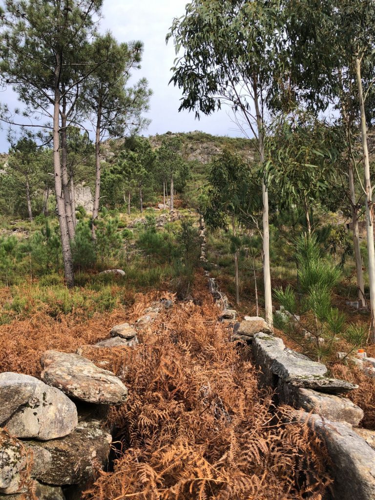
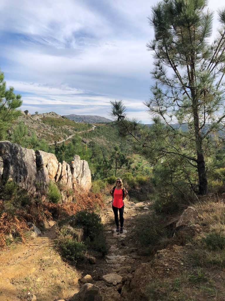
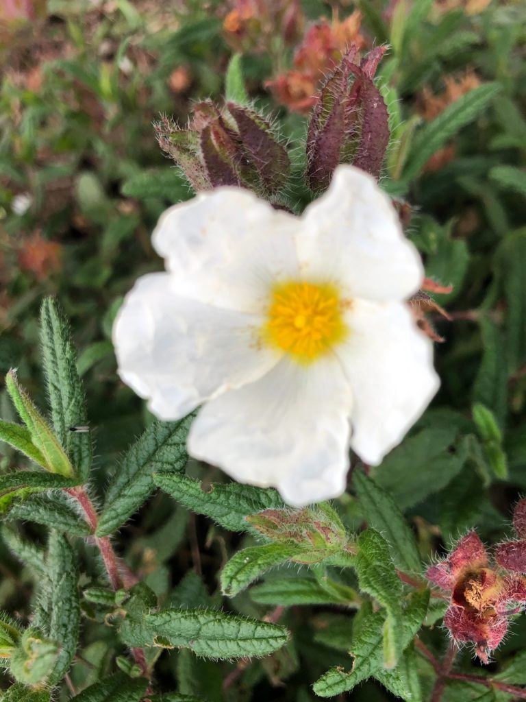
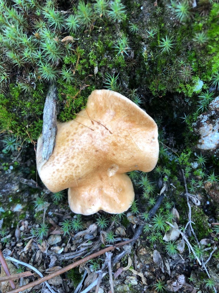
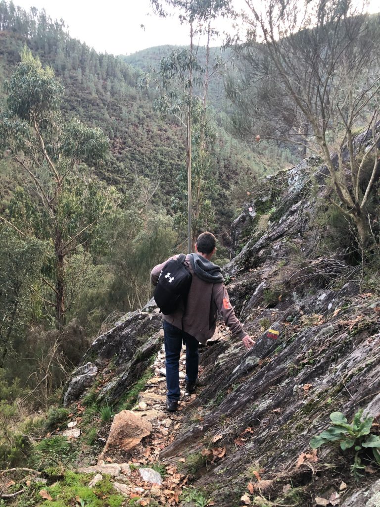
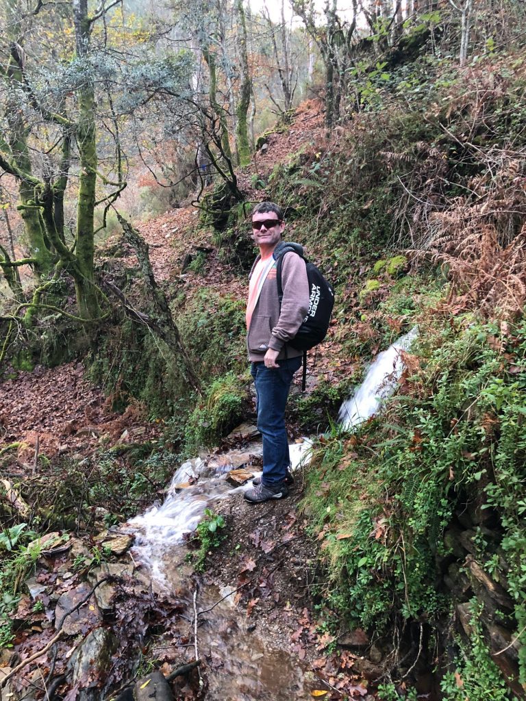
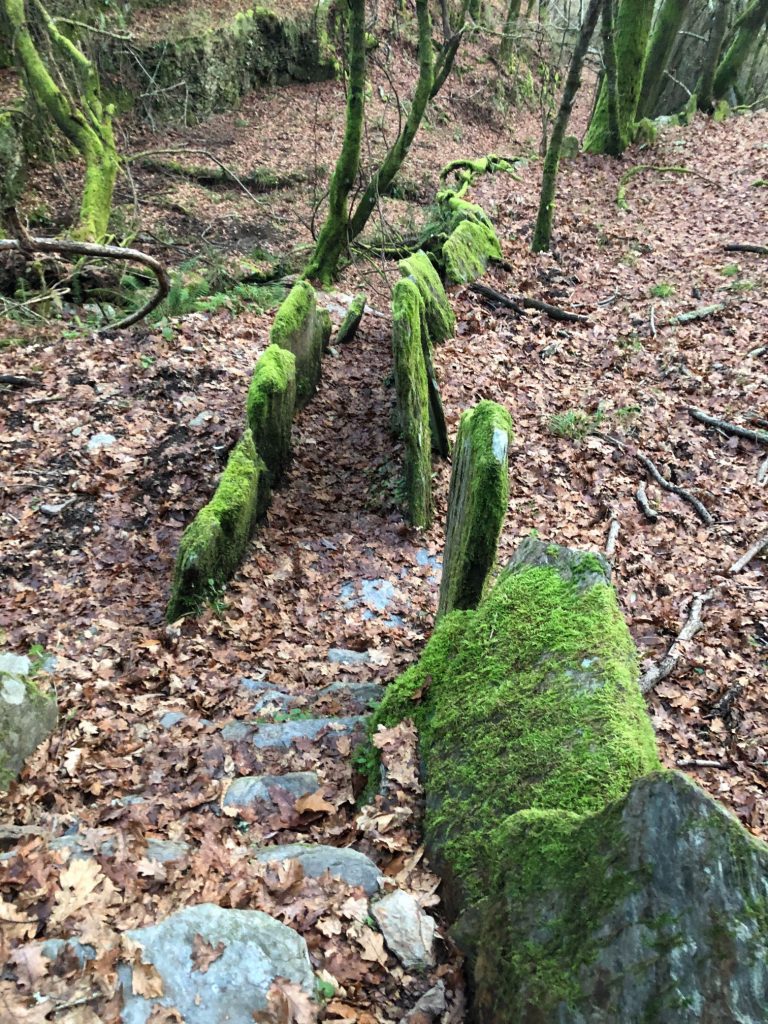
The terrain at the beginning of the trail was pretty wet and soggy underfoot and the ground was very rocky. This was nothing compared to what we encountered later on on the 3.1 trail but still very wet and we had to jump over little flooded pathways and marshy peat boggy areas. The valleys and scarps on this trail are so very beautiful and we saw 3 huge majestic birds of prey high up in the sky. I tried to photograph them but failed in my mission. Throughout the trail there are many species of fauna and flora including magical oak and laurel forests. There was so much poo on the pathways but the dollops were way to big for sheep so although the trail is titled “In the Shepherds’ Path” I am pretty sure there are some kind of wild cow or boar that roam these pathways as the poops were gigantic and spiral like a work of art or the icing on a cupcake, just don’t eat it (ha ha). At first we strategically avoided the poops like crazy but after a while we just didn’t care. I could not be bothered to keep looking at the ground when there were such amazing panoramic views to marvel at. Be careful when grabbing onto supports to assist you descending as I grabbed onto a trail signpost which I assumed was fixed into the ground but it wasn’t it was just propped up between two rocks so I fell forwards mildly injuring my shoulder which is still in recovery from my running accident.
Rocky terrain underfoot 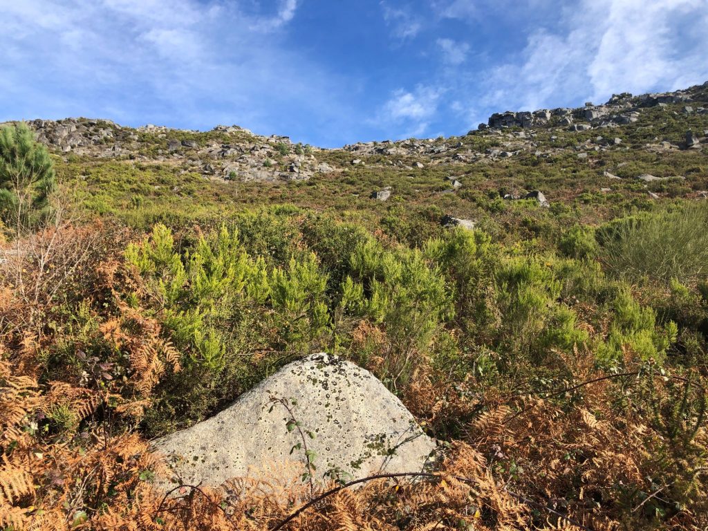
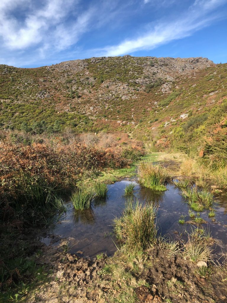
Boggy areas you need to cross 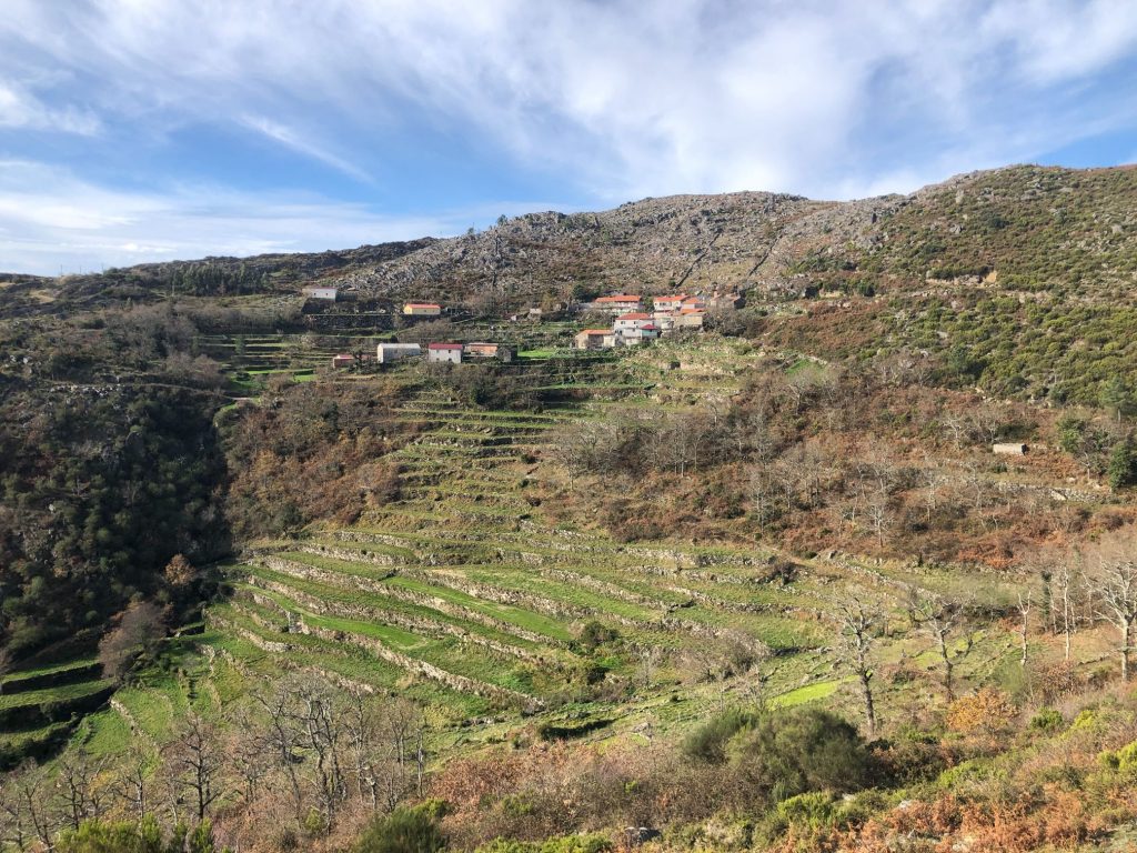
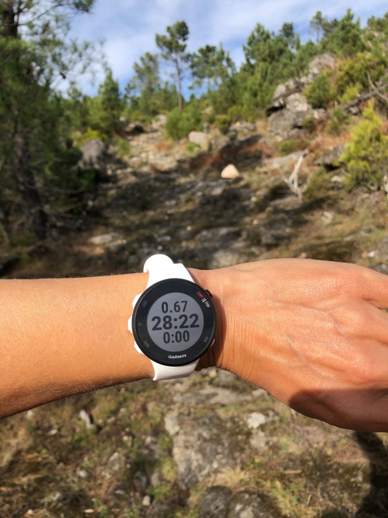
My new Garmin gift to track my activity 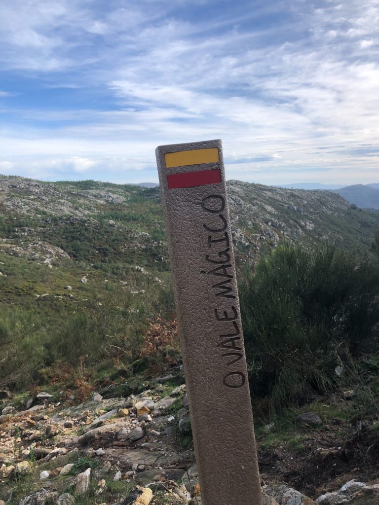
The unstable signpost it’s more unstable than me (ha ha)
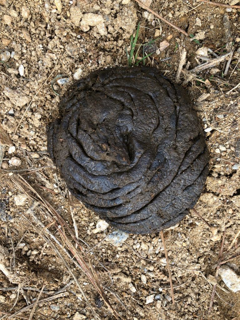
Gigantic poop – It’s not mine by the way (ha ha)
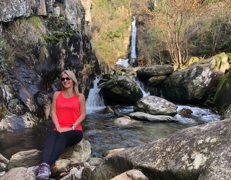
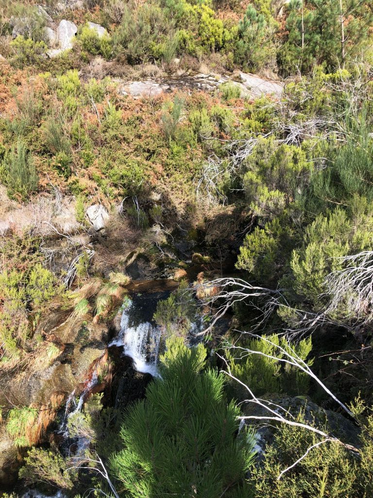
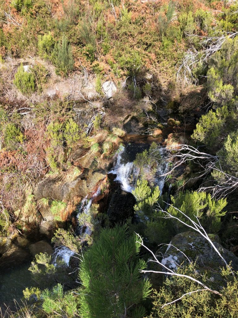
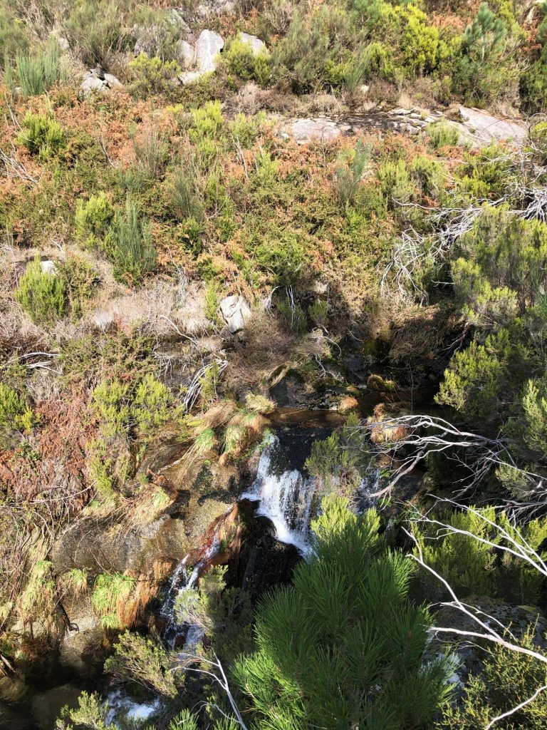
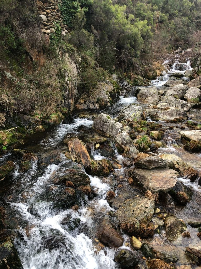
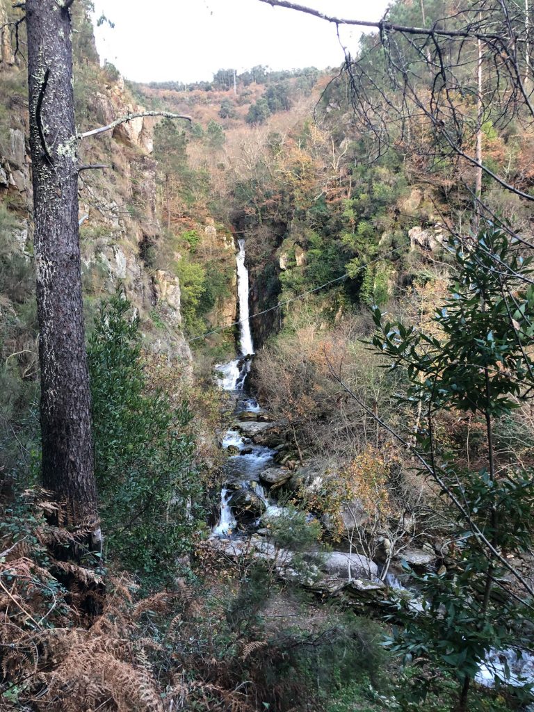
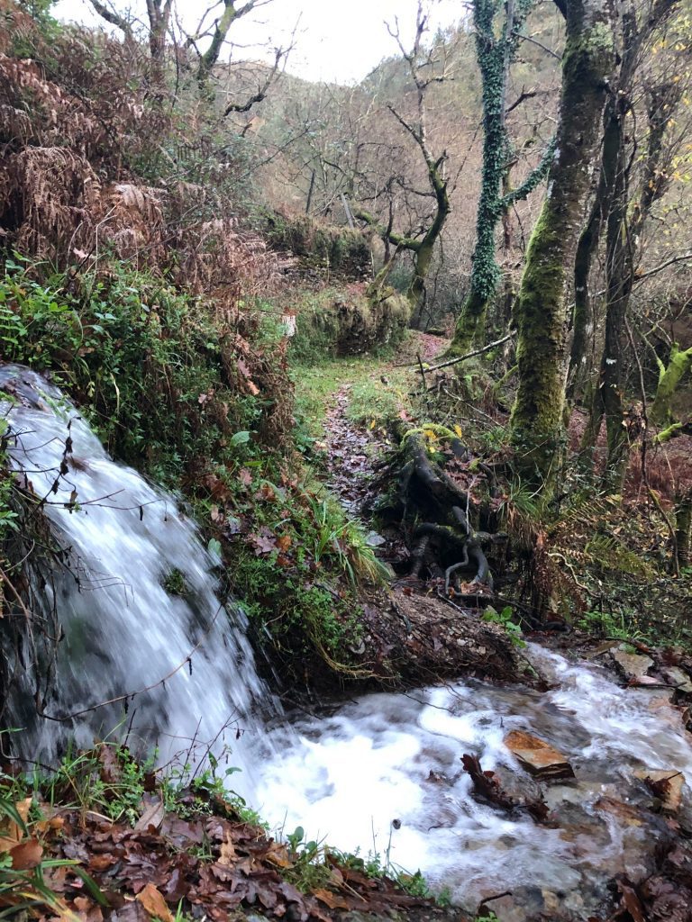
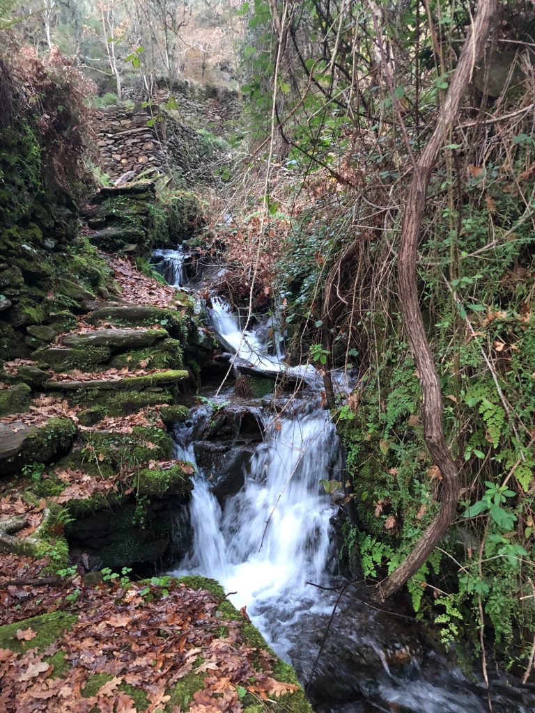
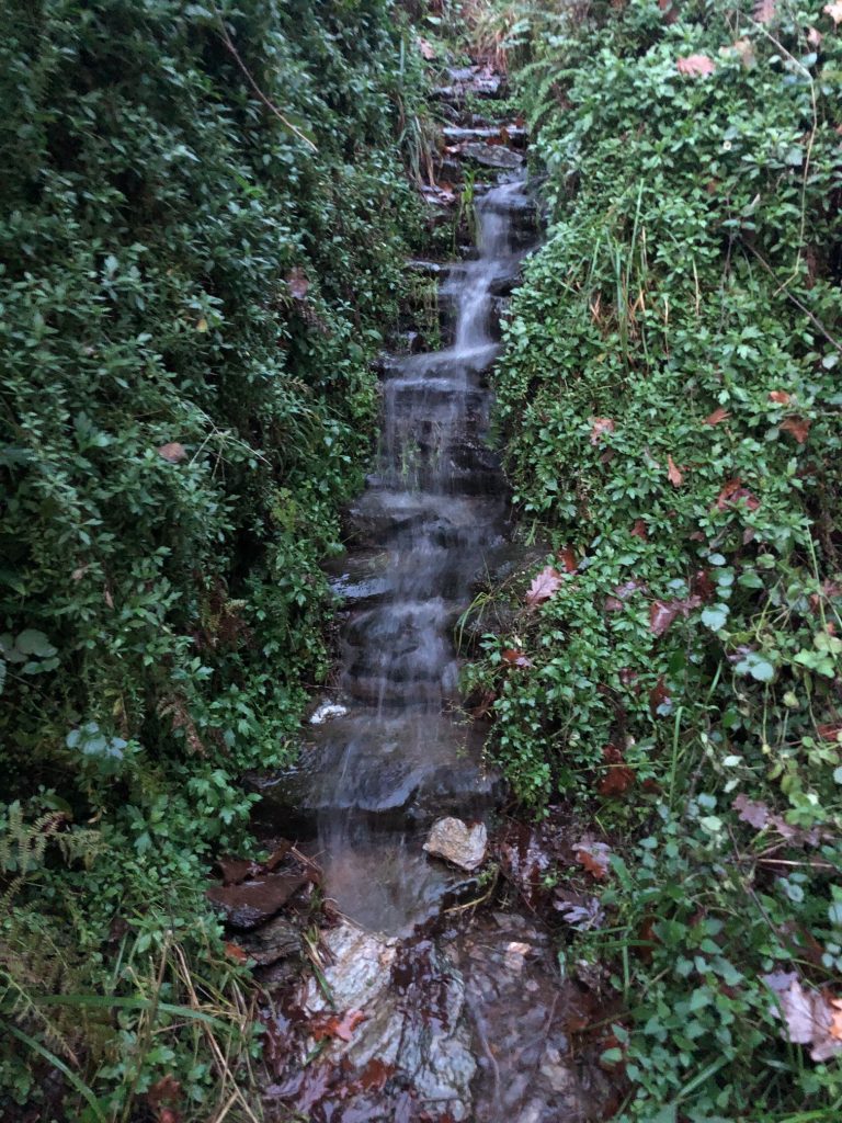
Cascata das Estacas (Waterfall)
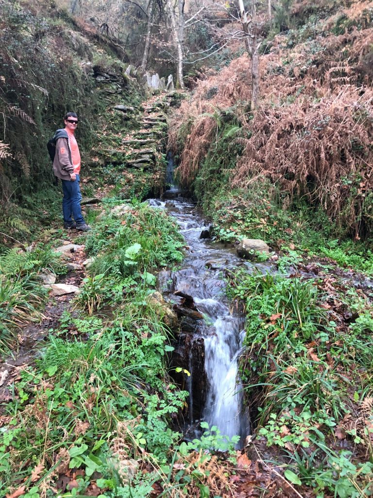
The first waterfall we met was Cascata das Estacas. Unfortunately the bird’s eye view is a little obscured by overgrown vegetation and nature and there is no safe route to get a closer look but you get a glimpse of the fall and the sound of the gushing waters from the Ribeira das Estacas.
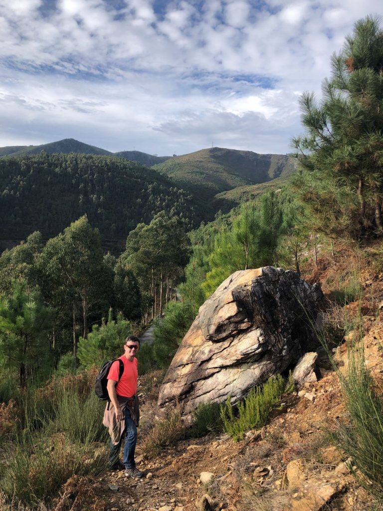
Breathtaking Breaktime and Rock Art
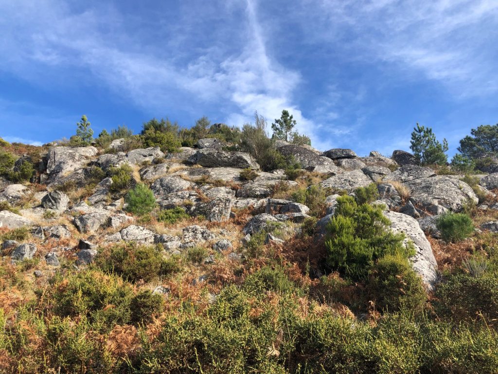
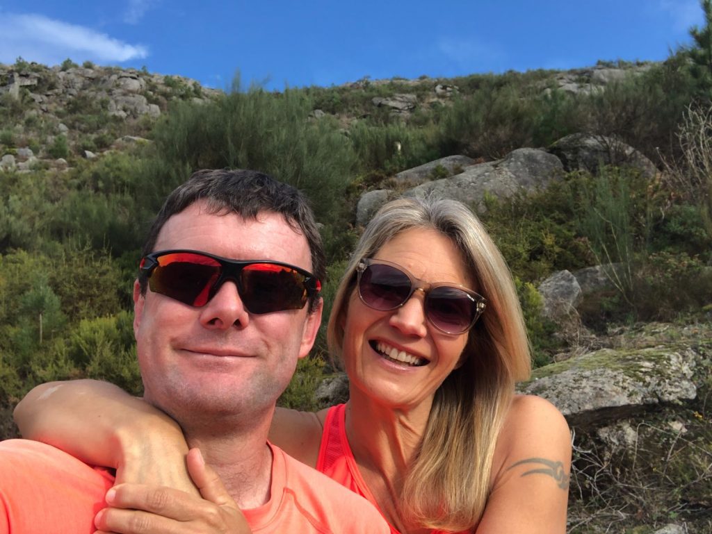
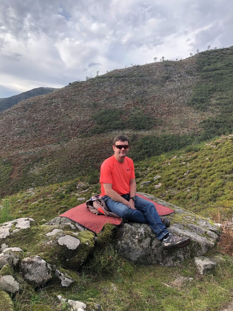
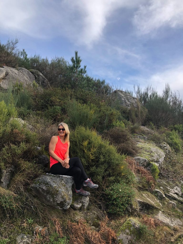
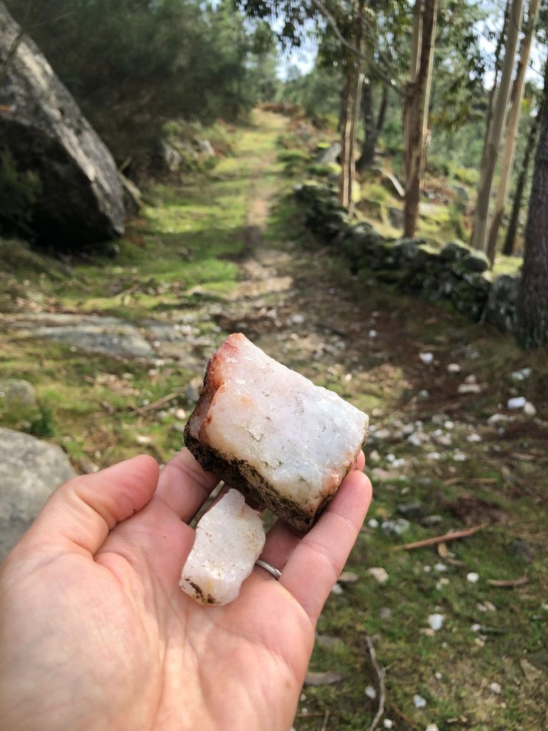
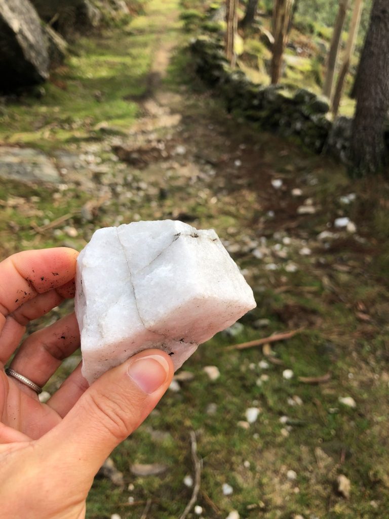
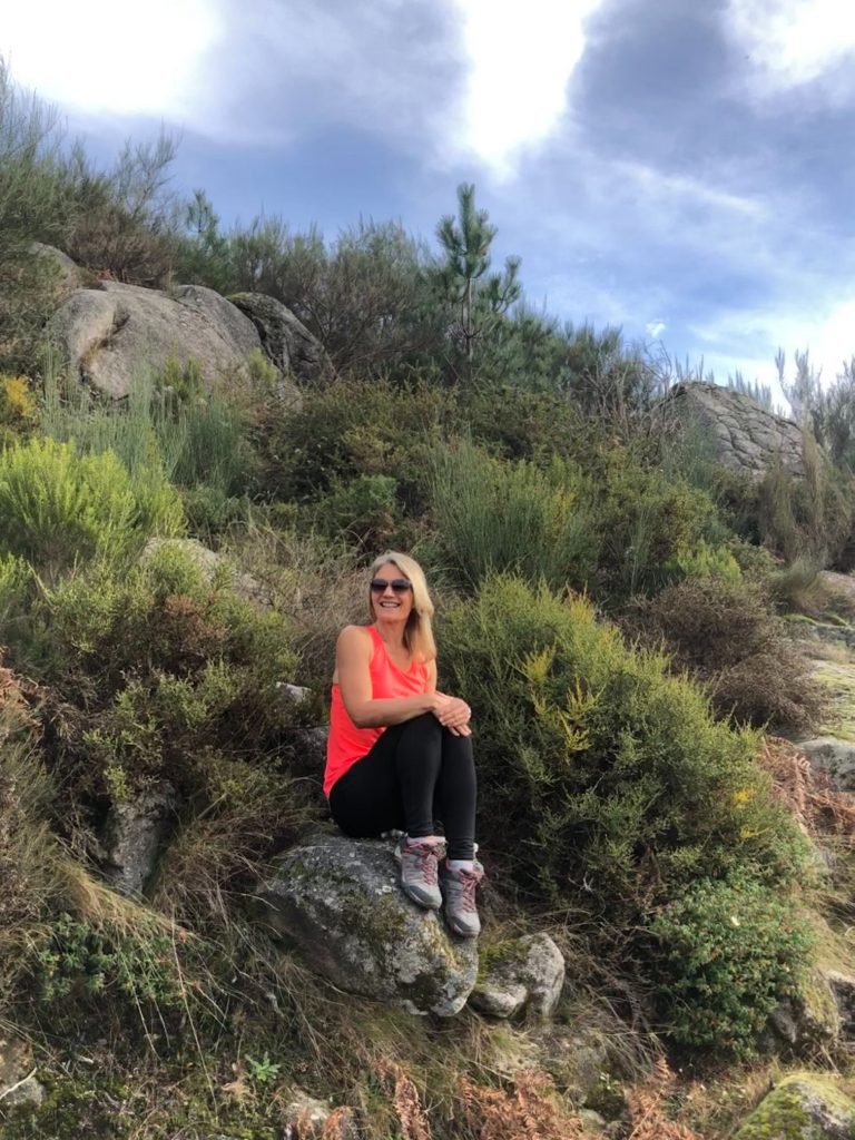
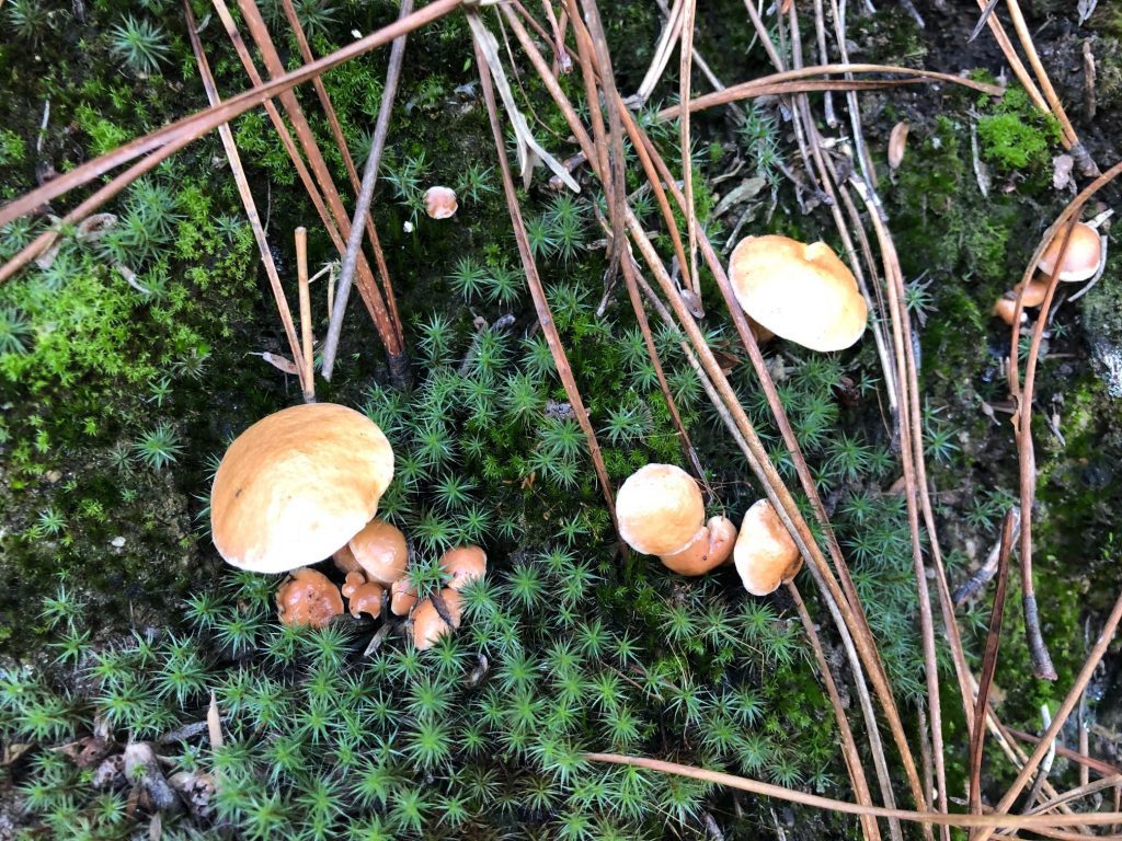
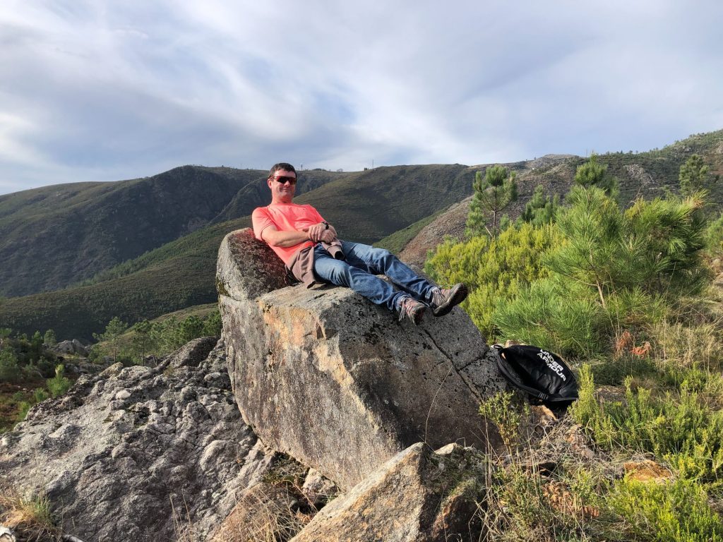
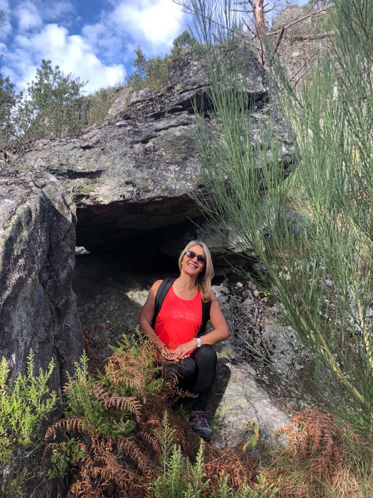
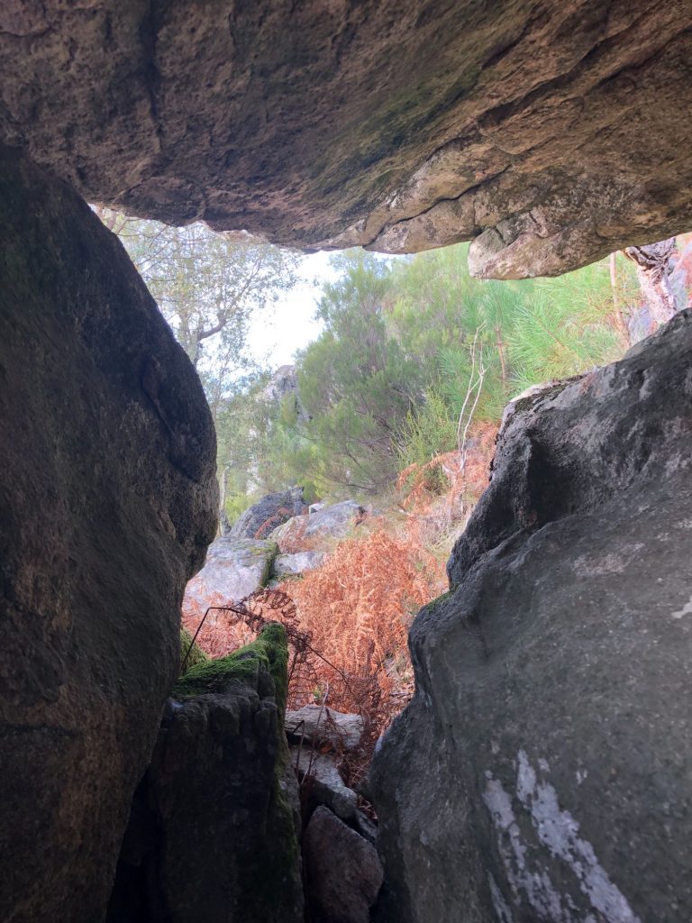
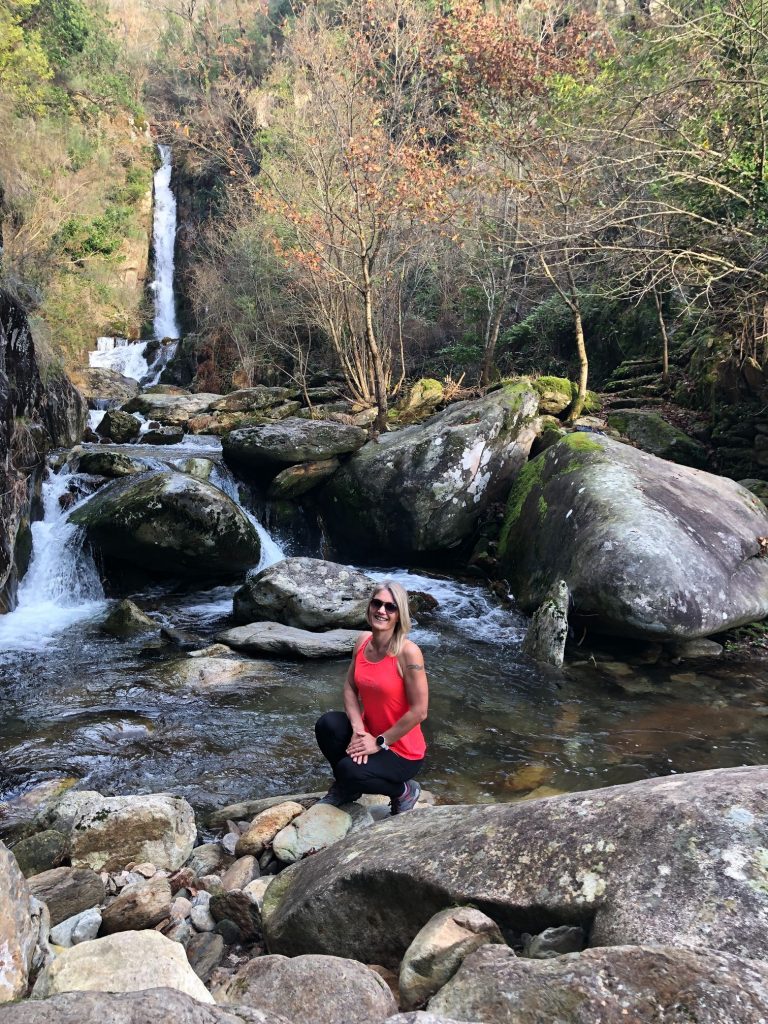
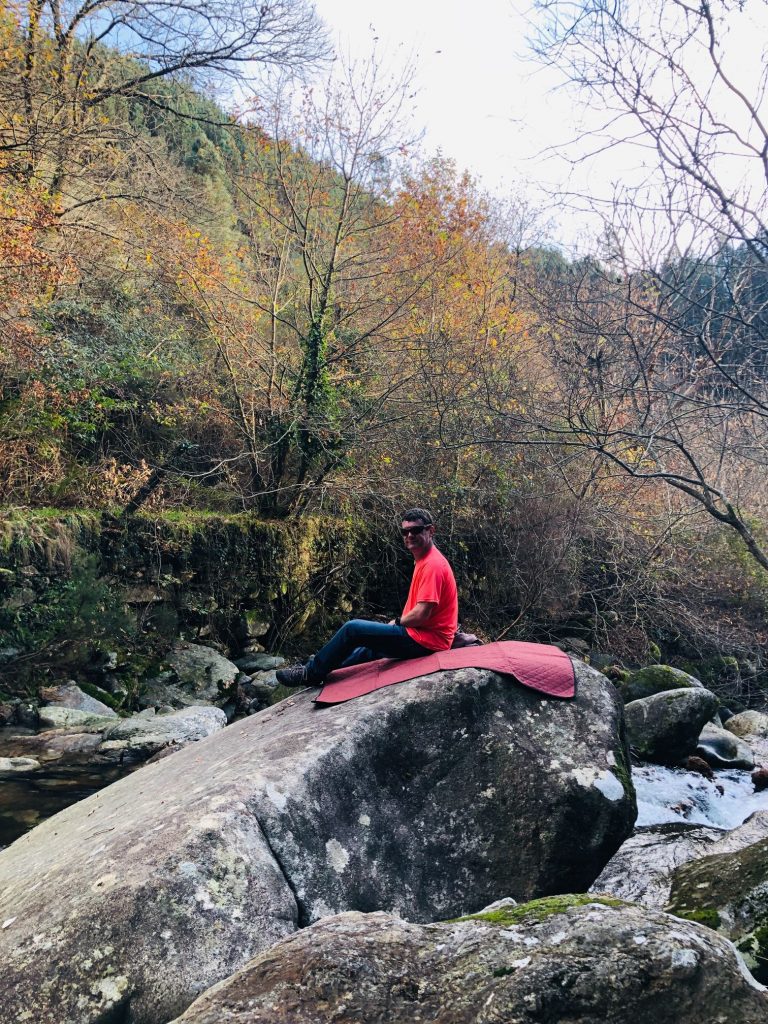
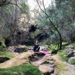
Shortly after the waterfall we found a large boulder for a well deserved rest. The panoramic views here were absolutely phenomenal. I needed a wild pee and thankfully I was able to relieve myself without flashing anyone as we were the only ones on the whole trail from start to finish as usual. Hubby found a huge rock shaped like a chair to have another rest on and I found a turtle shaped rock which was epic. Is it just me that sees shapes and patterns in random objects? I googled it upon returning home and apparently there is an actual word for it “Pareidolia” and it’s a form of apophenia, which is a more general term for the human tendency to seek patterns in random information. Wow, I love learning new things at my ripe old age (ha ha). There were lots of quartz stones glistening underfoot to admire.
Rock Art Chair
Rock Art Turtle
He even has an eye!
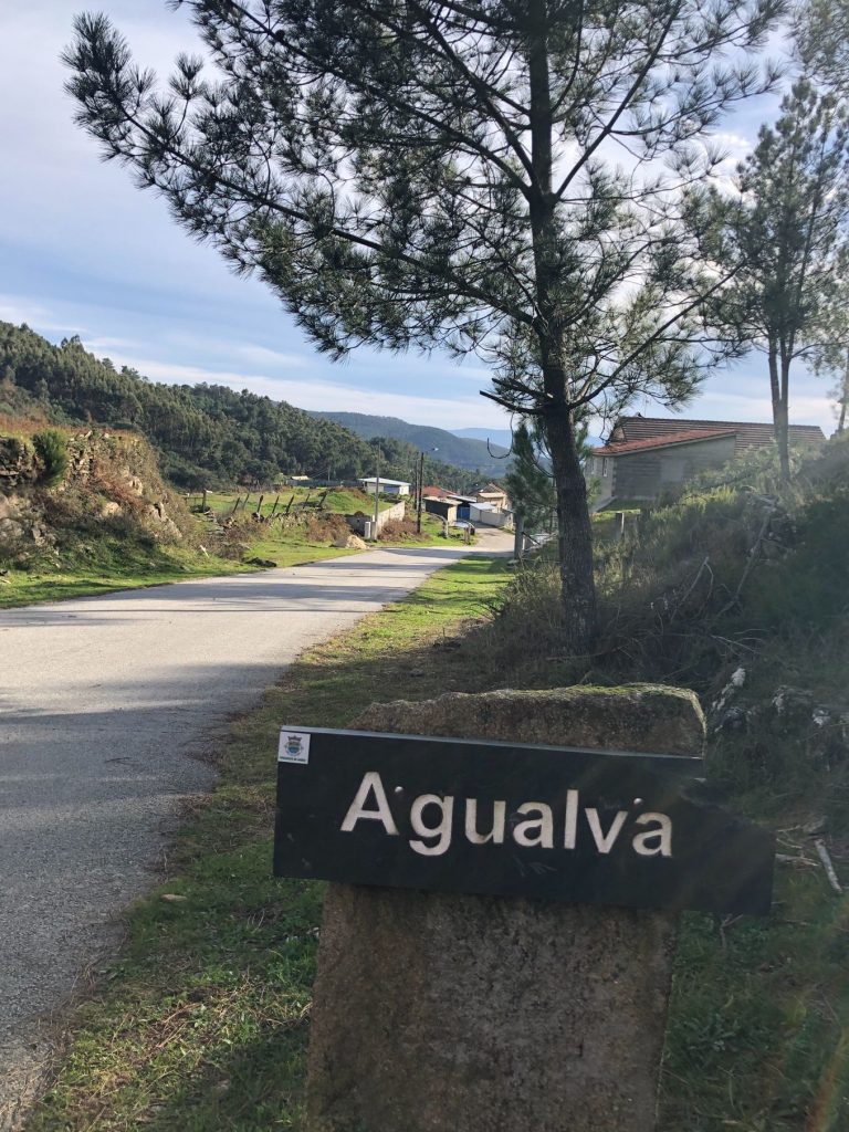
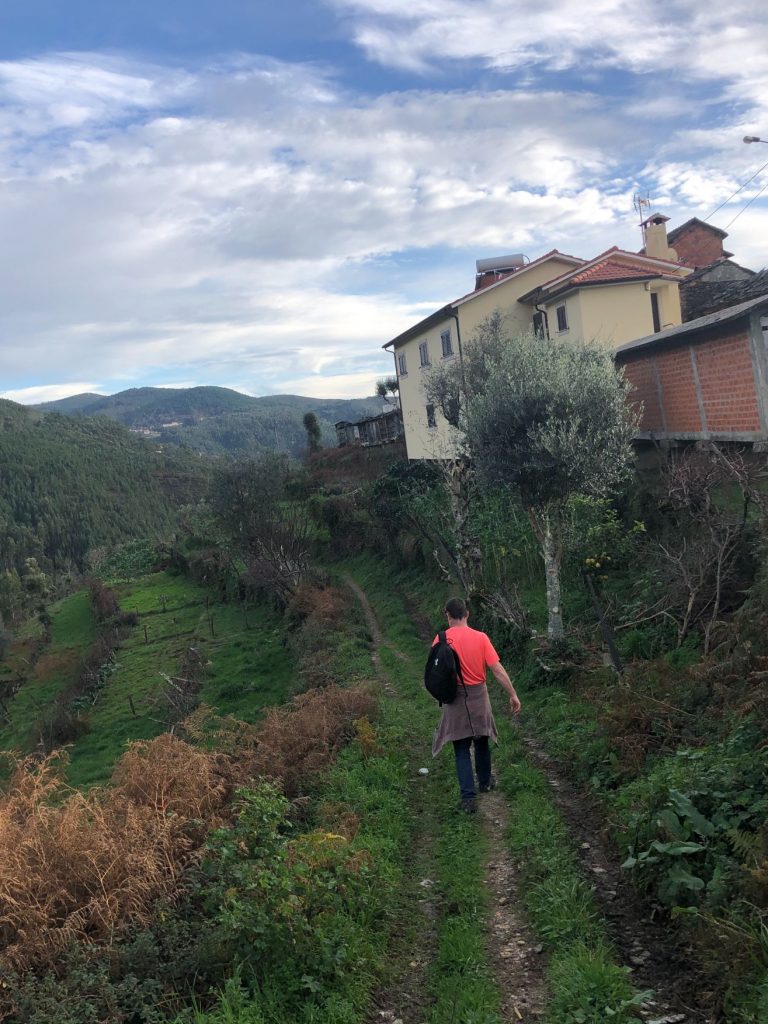
Agualva
The next village we came across was Agualva and just as we entered the paved road hubby realised that he had lost his mobile phone. Apparently legend says it was through this road that the farmers brought the “cows to the ox”, a tradition of taking the cows to be fertilized by an ox, a custom which has almost been forgotten. Back to the phone drama, we retraced our steps and found it thank goodness. It was not too far back hence how we managed to hike a total of 12 km instead of the 10 km (ha ha). We were lucky as it was like trying to find a needle in a haystack. I dramatically slipped going down the hill next to the sheep in the village and I frightened them to the point where they ran away, bless them. They soon came back to say a friendly hello, the little lambs are so damn cute! During the trail you will pass through 2 gates, please make sure you close the gates afterwards so the animals do not flee.
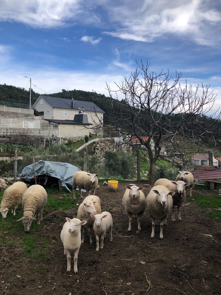
So cute!
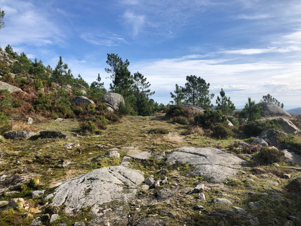
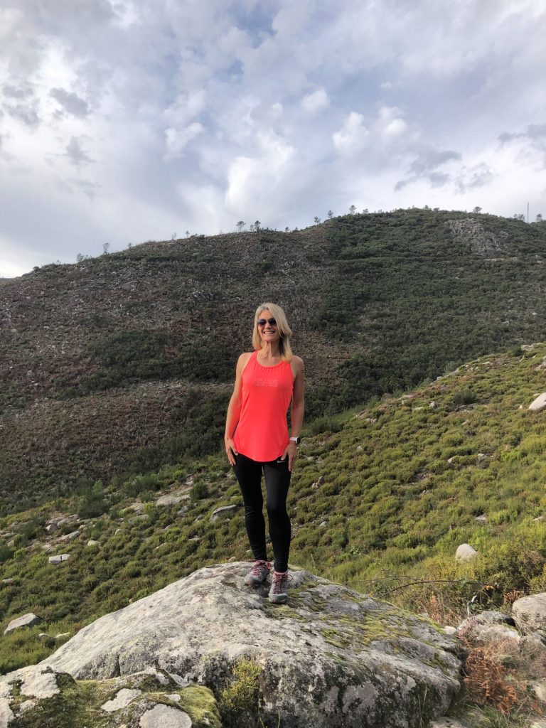
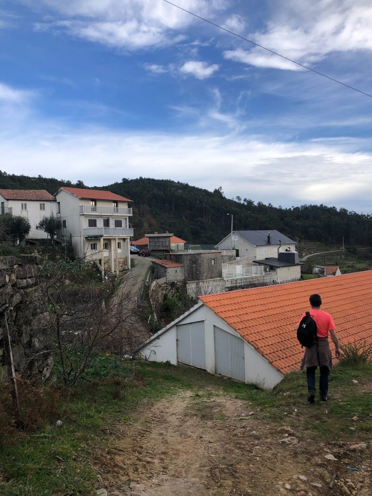
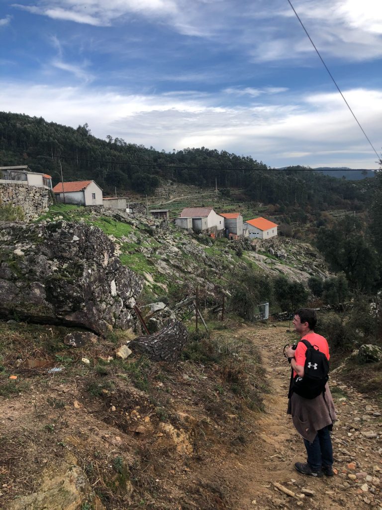
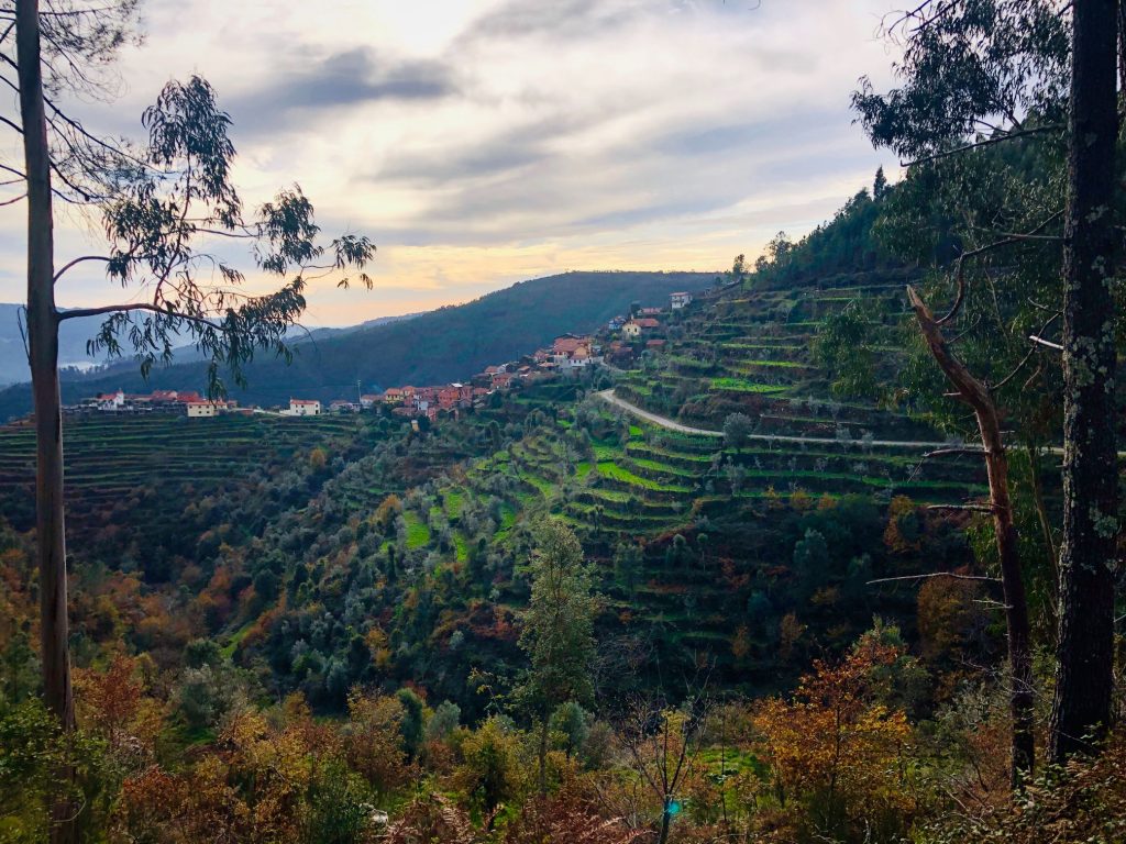
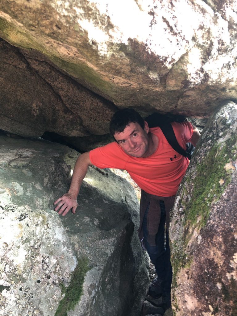
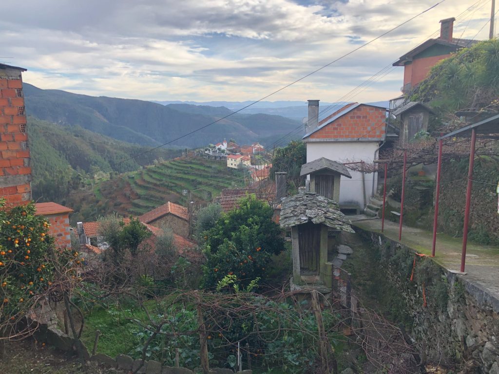
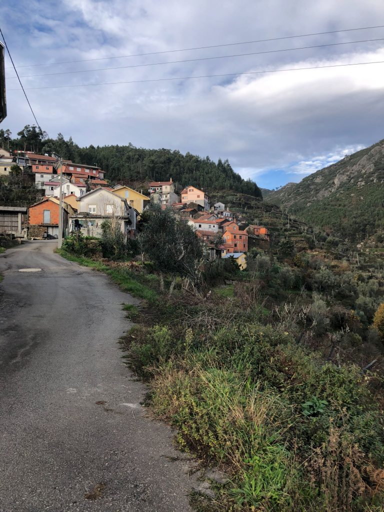
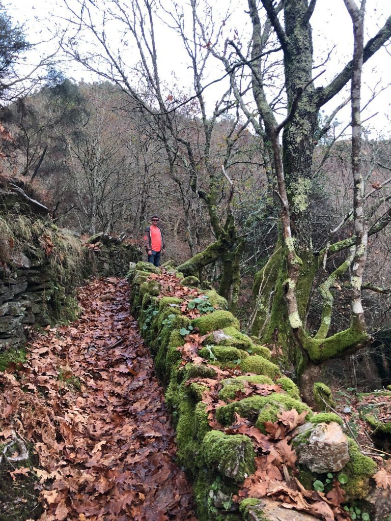
Lomba
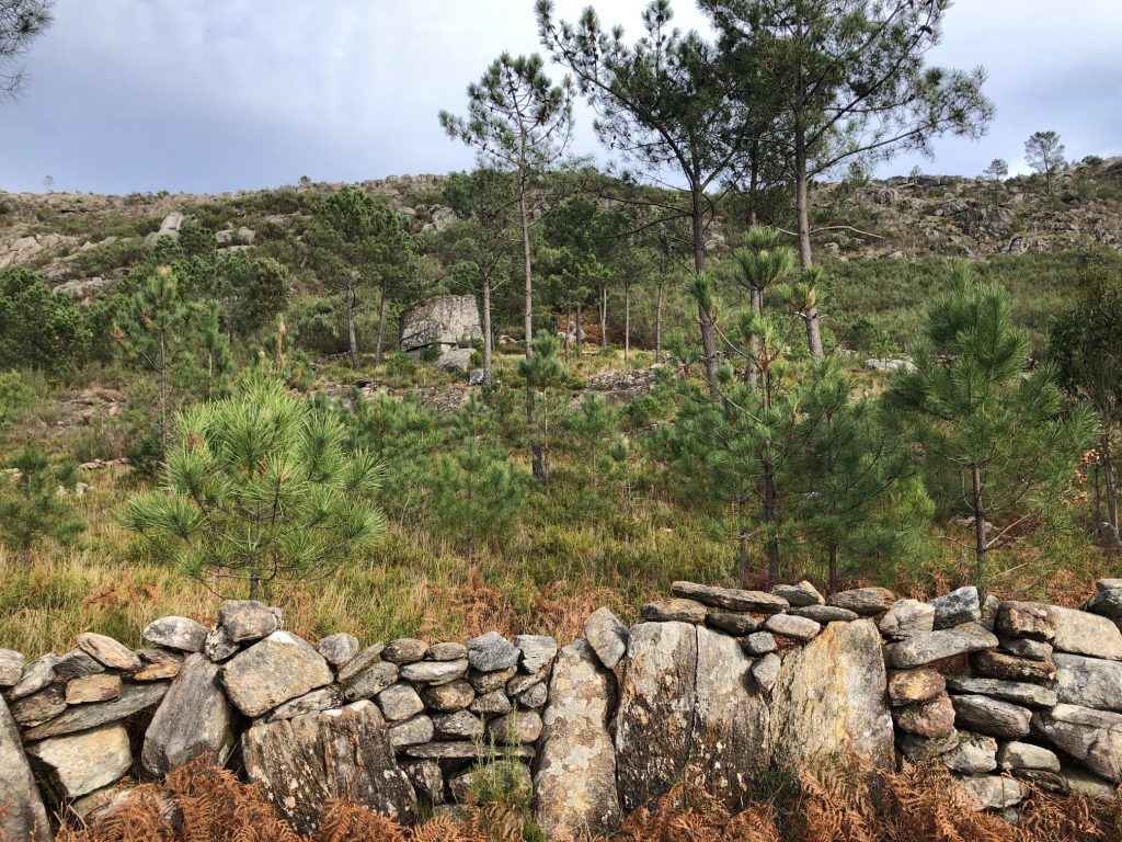
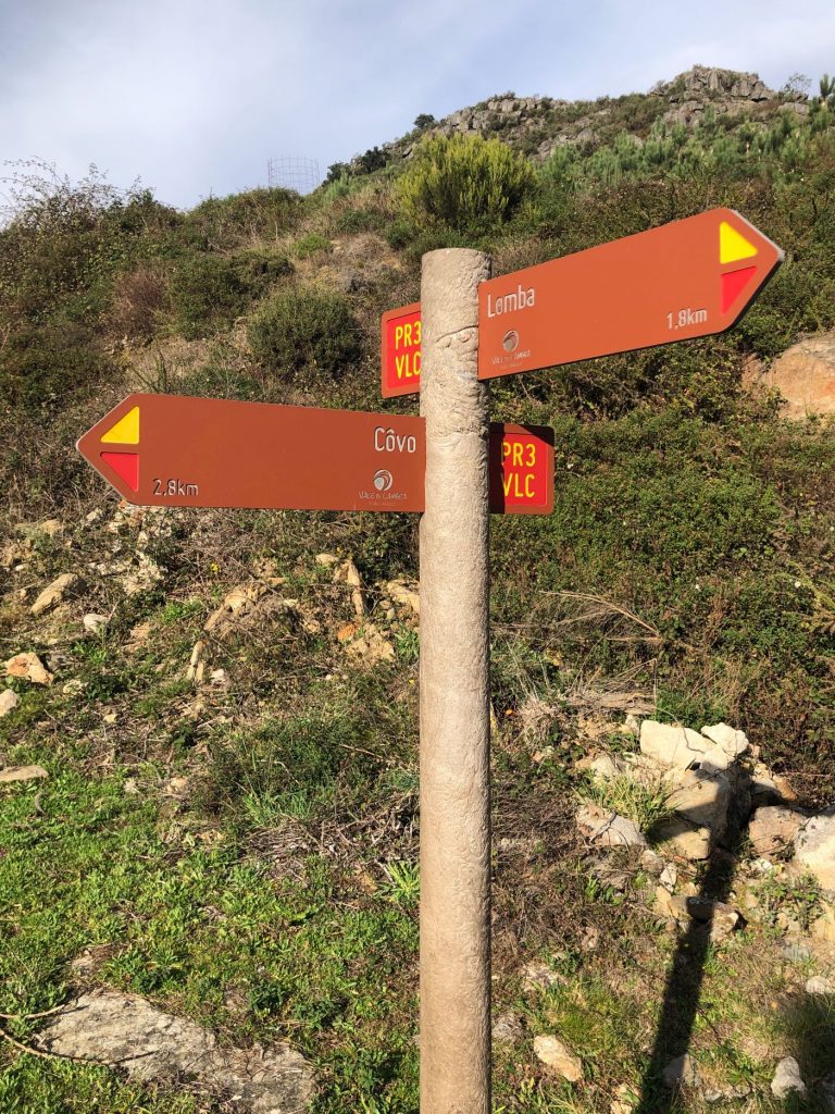
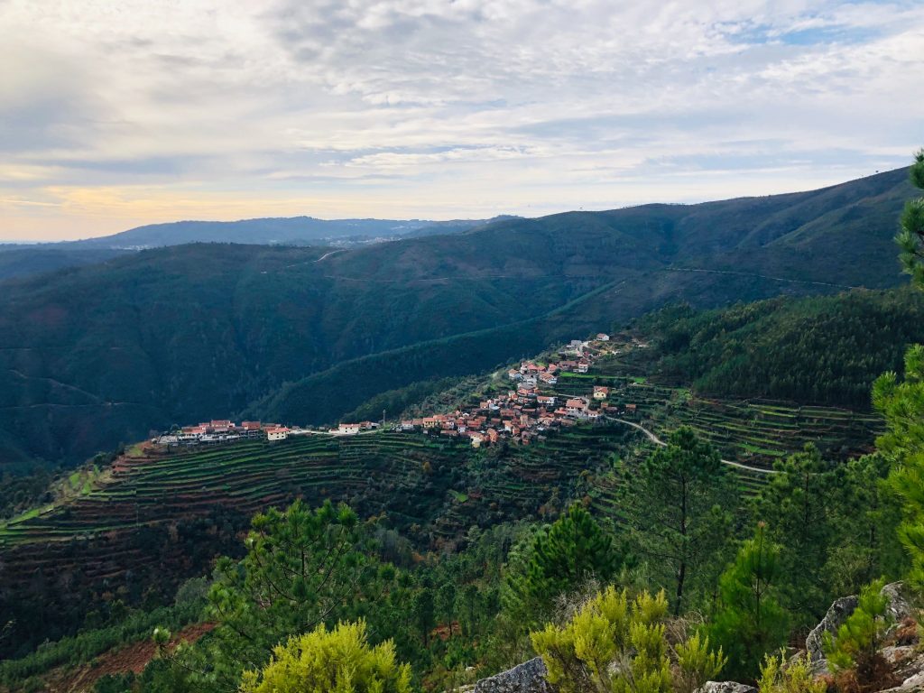
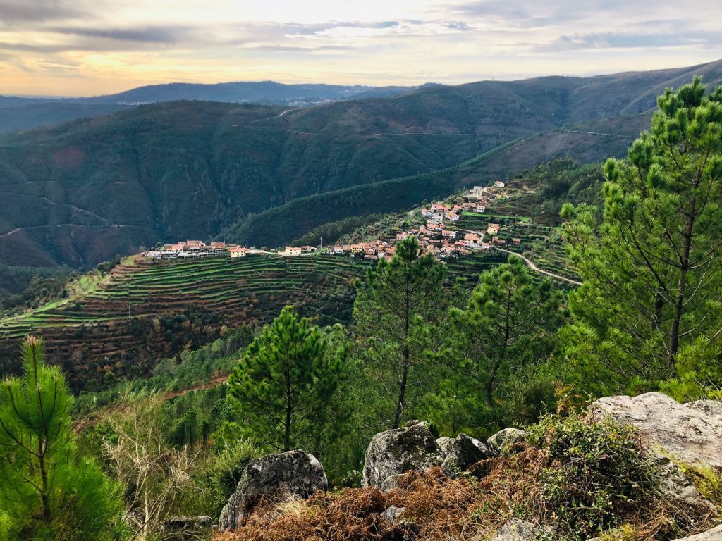
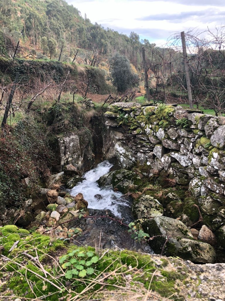
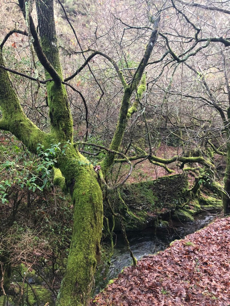
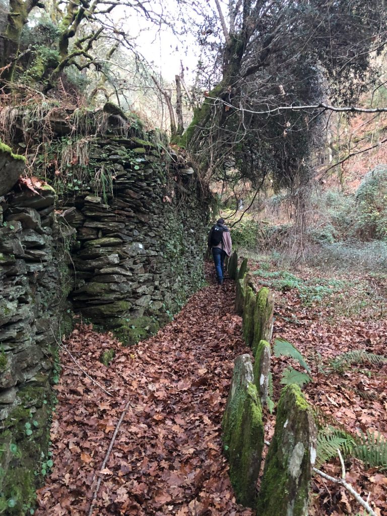
The village of Lomba is known to be one of the most beautiful villages in Portugal and I agree. As we approached you can see the little village idyllically perched on a promontory scattered with terraces that look like they have been cut out of the mountain range. The view is magnificent and truly unmissable with all the vivid different shades of green glistening under the heat of the Portuguese sun and it is a remarkable hidden treasure to view. It really is so very pretty and I stood here on top of the world for a few minutes just staring at the marvel, what a picture postcard view! We also found a little cave so we had to explore as we are crazy adventurers. The village ends in a small peninsula where you can find several houses, a chapel, cafe, cemetery and 15 Canastros (Granaries). These grain stores make my mind wander back in time to where the local villagers would sow corn, store the cobs and grind the grain in the schist mills. I wonder if this is still practised today. We then followed the path alongside the flowing river into the heart of the village. Canhão das Estacas (Cannon of Stakes) is a small canyon/gorge on the Ribeira das Estacas, a tributary of the Ribeira de Agualva that passes through the village of Lomba. It is part of the Teixeira hydrographic basin, as well as the neighboring streams of Agualva and Macieiras. At Lomba you have the option of adding on the PR3.1 or continuing with the basic PR3. There is a water fountain here to top up your supplies if needed.
Stunning views of scenery not hubby’s rear (ha ha) 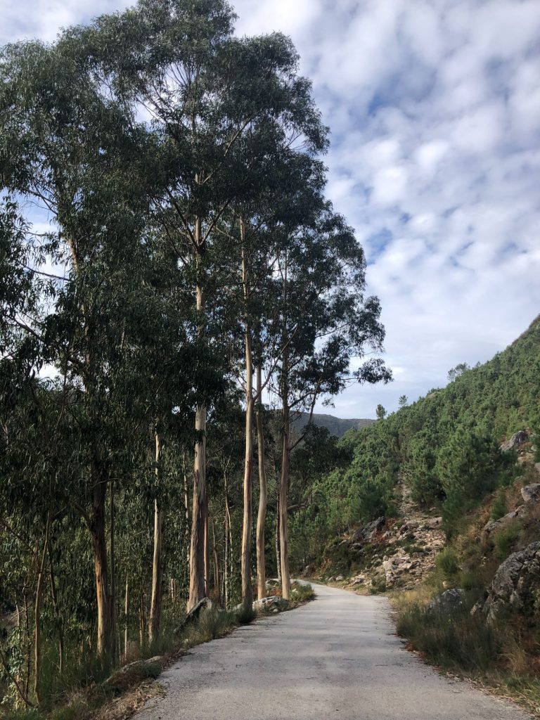
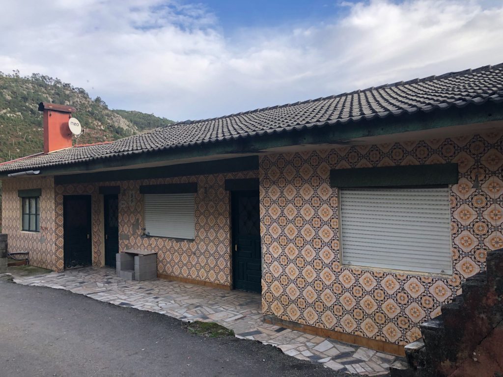
Traditional tiled casa
Trail to Cascata de Porqueiras (Waterfall)
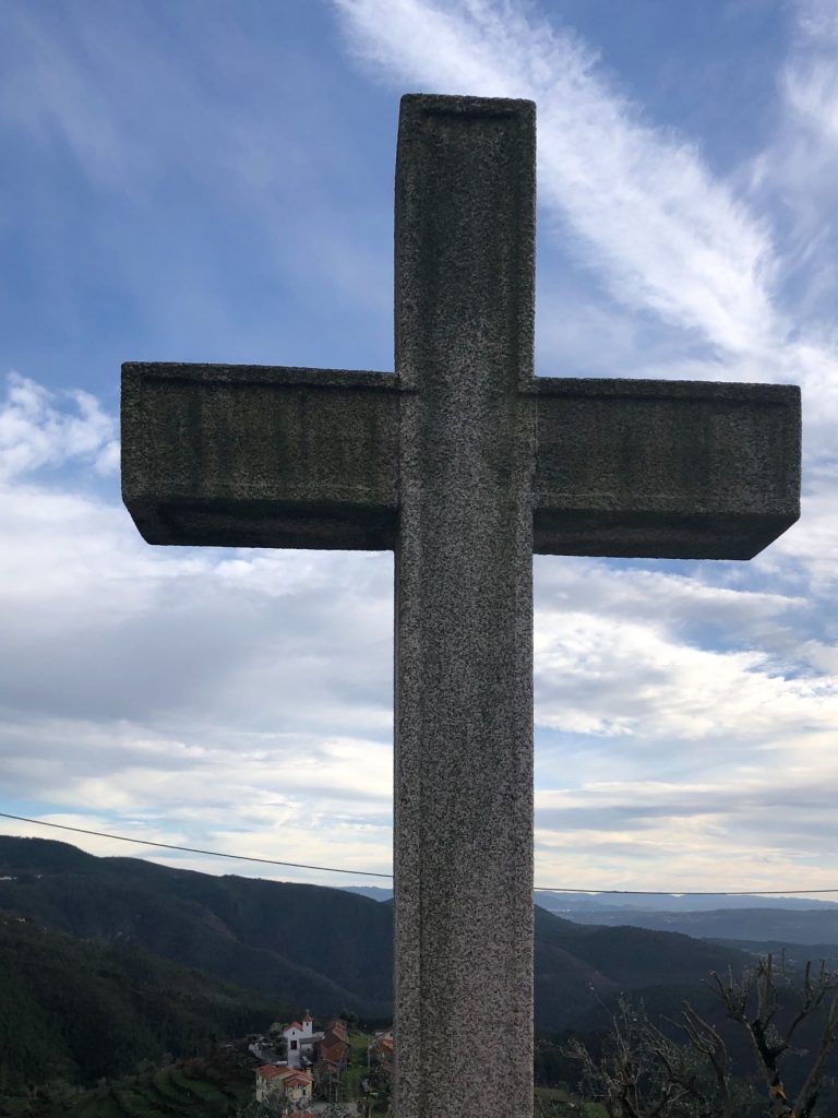
From the village of Lomba it is only a short hike from the cross down a narrow alleyway filled with roaming chickens to the admirable Porqueiras waterfall which is located at the bottom of the valley of the Agualva river. On the trail down I spotted lots of bits of orange peel on the ground. There was a beautiful orange tree and I suspect hungry visitors help themselves to the odd tasty orange to refresh themselves or maybe they leave a trail of orange peel behind to find their way back like the fairytale of Hansel and Gretel (ha ha). I know it will biodegrade but I wish folk would take their rubbish home with them, it’s not difficult.
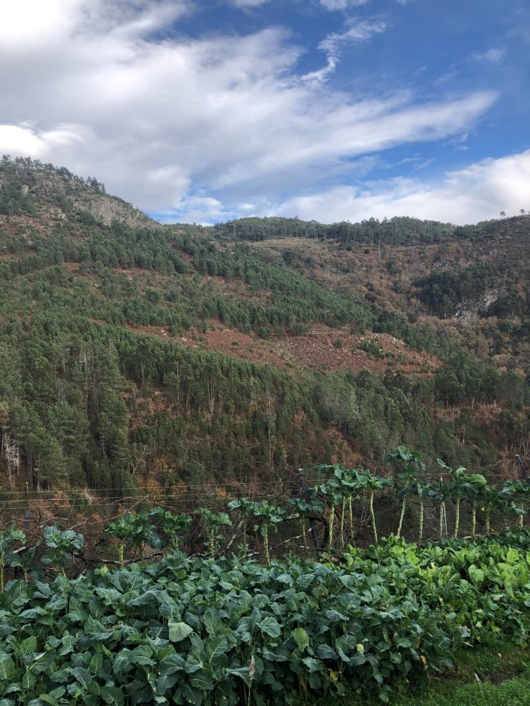
Walking stick cabbages 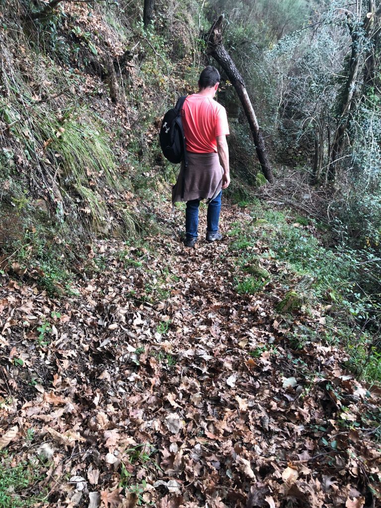
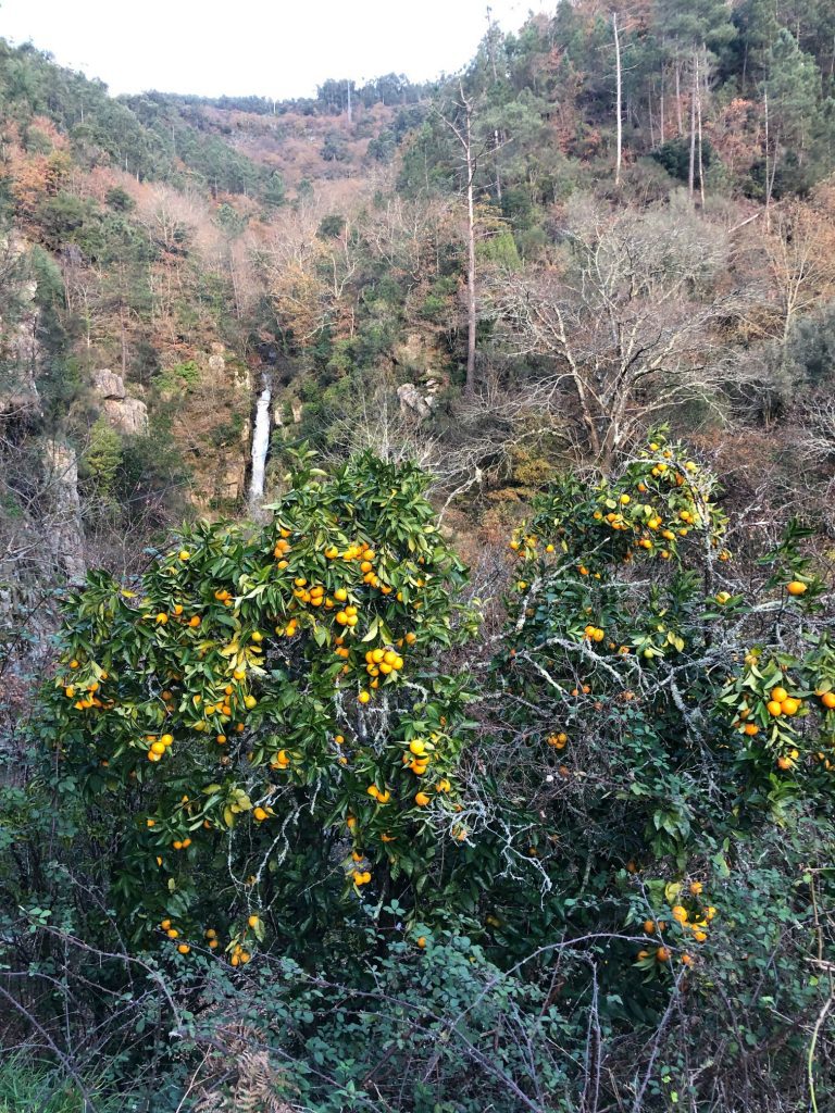
Orange tree 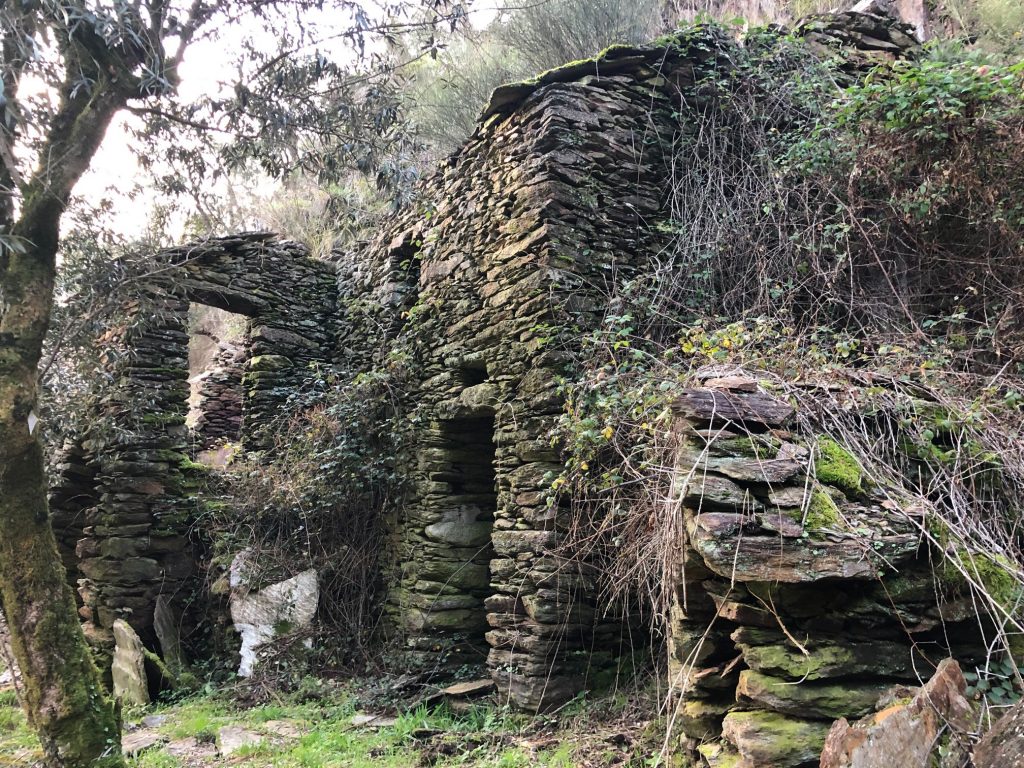
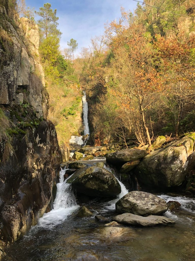
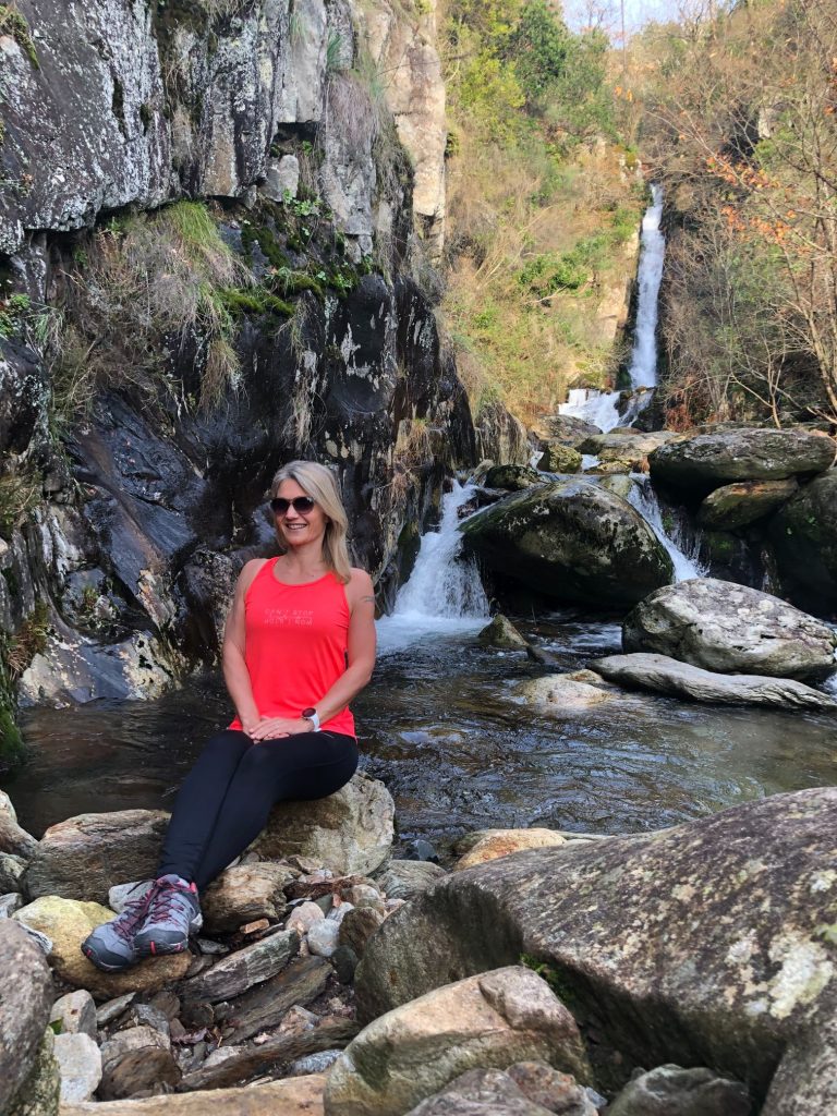
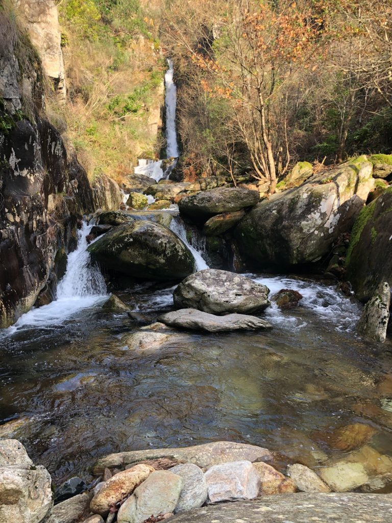
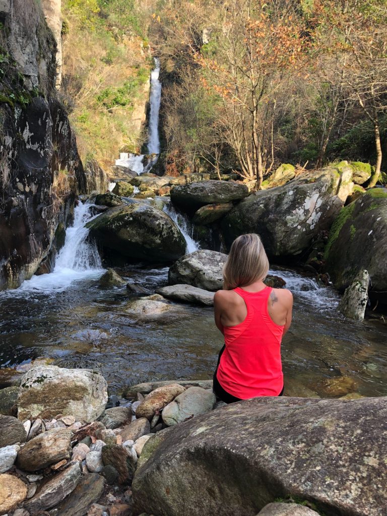
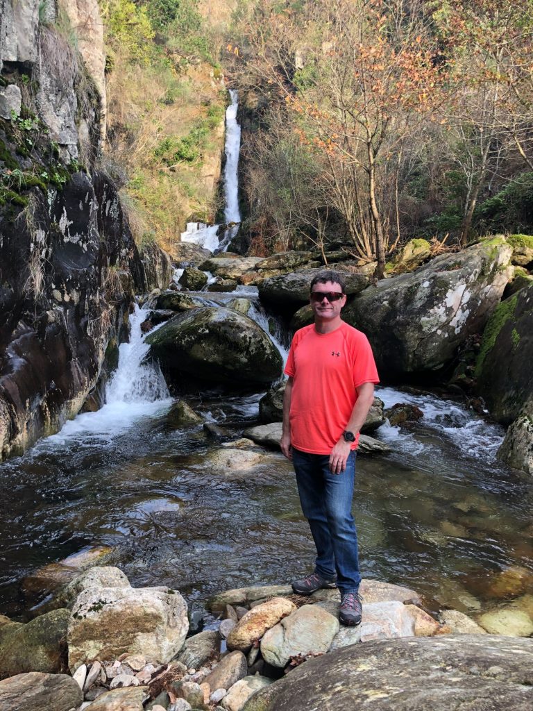
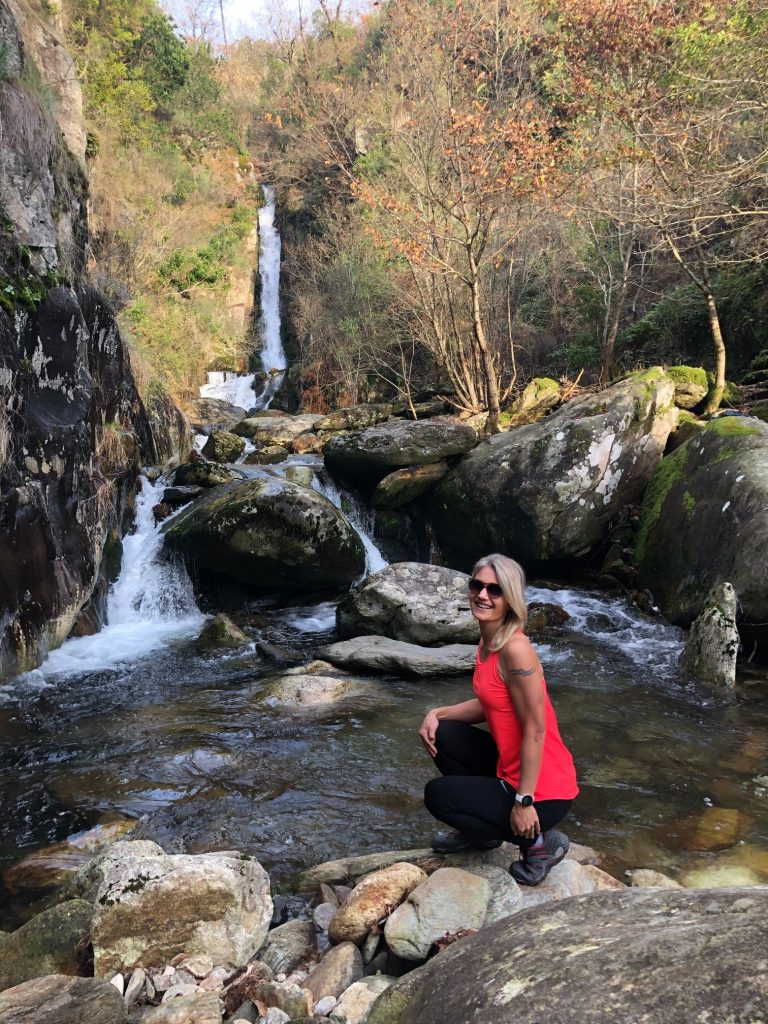
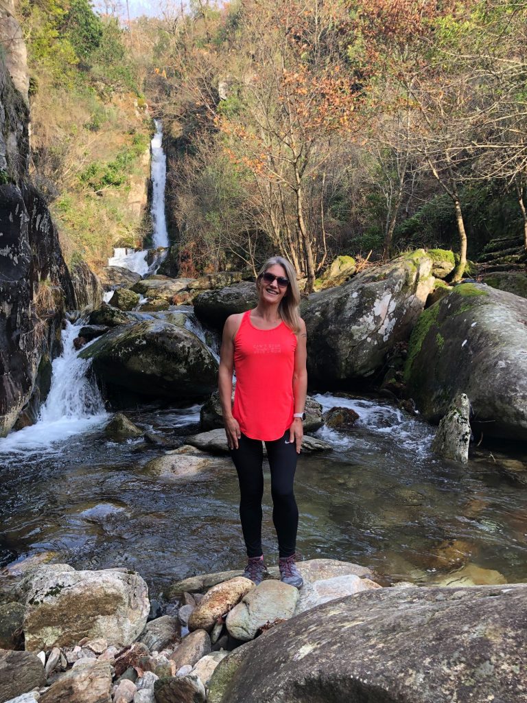
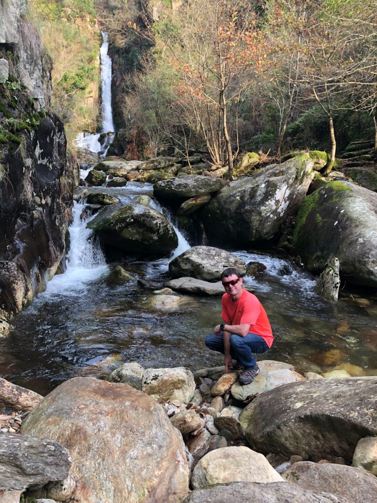
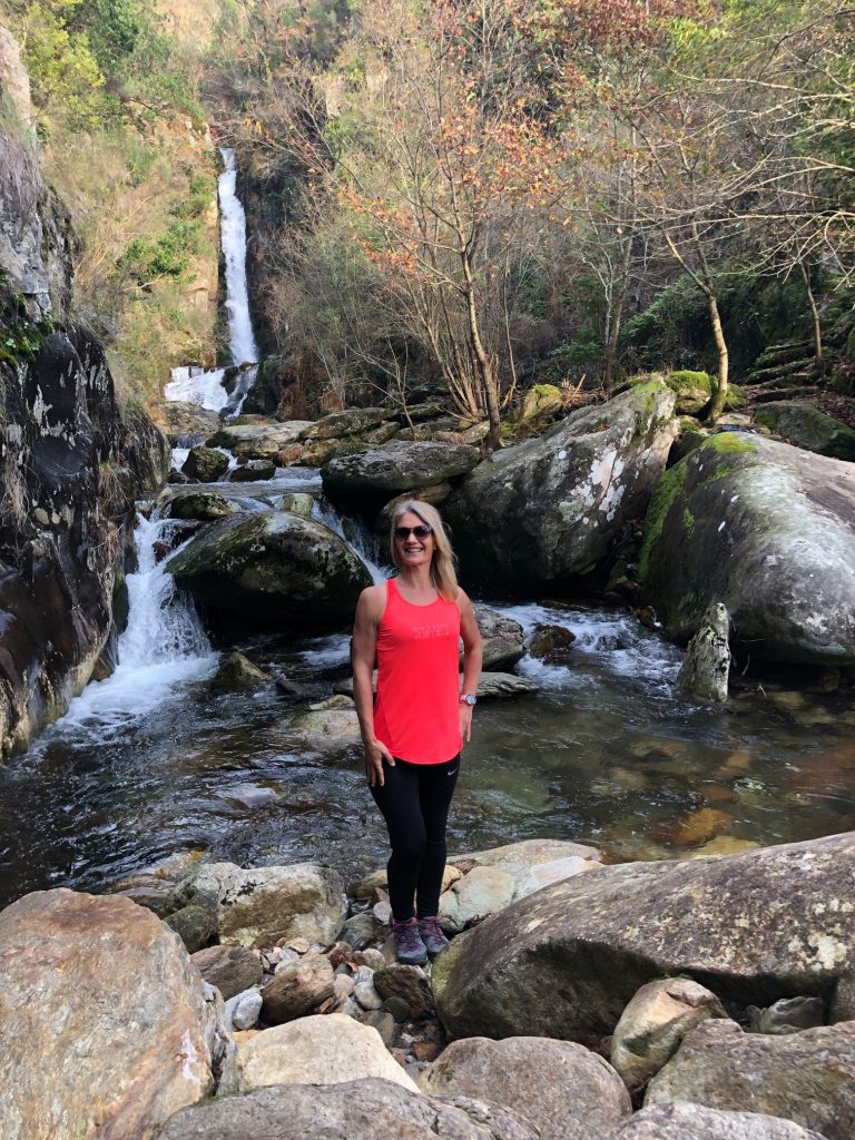
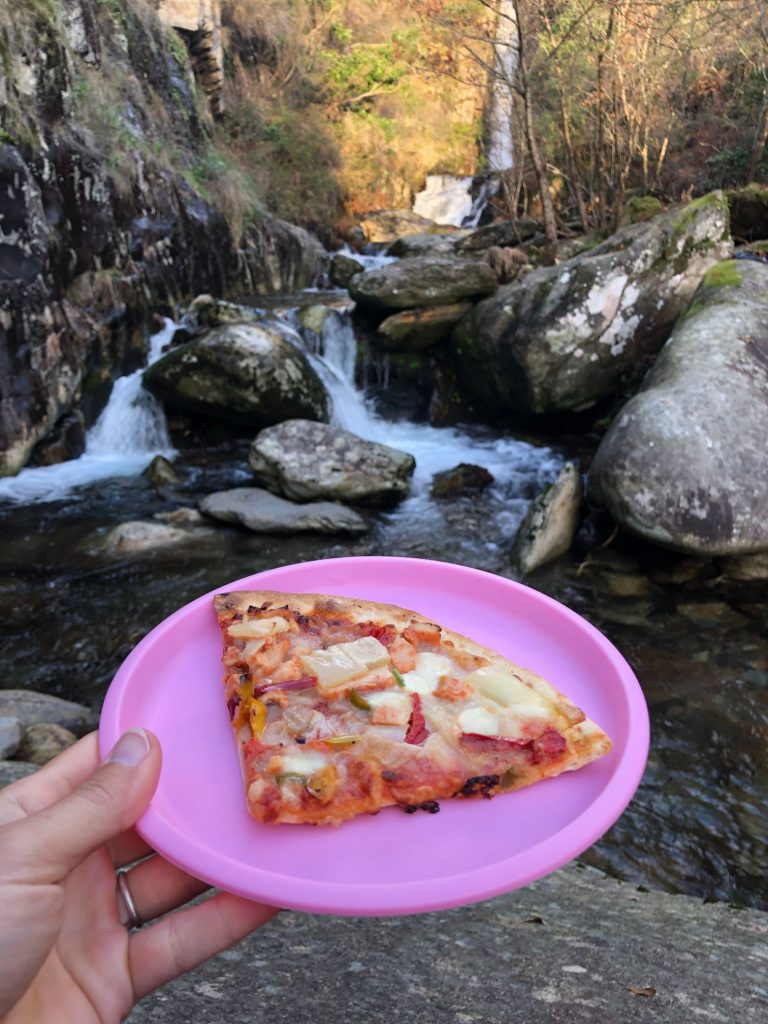
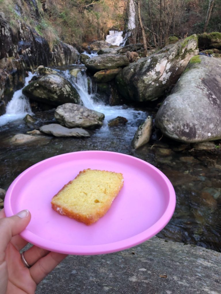
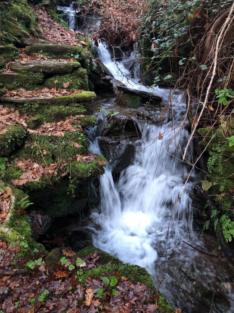
Cascata de Porqueiras (Waterfall) and Lush Leftovers
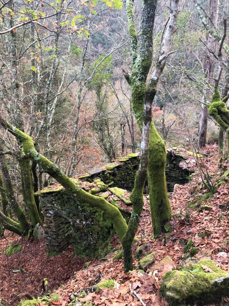
As you climb down you pass through the abandoned village of Porqueiras with rustic old schist ruins and mills. The waterfall was flowing fiercely and it was a spectacular sight. Every waterfall we visit is very different and this one was no exception. It was breathtaking and we found a boulder to rest our weary legs and enjoy our picnic whilst watching the water cascade down the granite rocks. It was a very special and romantic moment. There is a grassy area next to the waterfall but it has a wall so it looks like it is owned by someone so we didn’t intrude onto their property out of respect. I did expect to see others at the fall as the walk to get here is so short from the village which usually means more tourists but no, we had the whole place to ourselves as usual and it was very special. As well as my usual tuna and egg salad with fruit I enjoyed some tasty pizza leftovers from our celebration meal the previous night and the most wonderful moist lemon drizzle cake. I already ate the dough balls in the car on the journey here (ha ha). We made the cake together at home but I told hubby not to pack me any in our picnic as it has almost a whole pack of butter (225 g) in the recipe and I need to lose the 1.2 lb that I put on over Christmas. Well it appears hubby knows me and my stomach better than I do as he took it upon himself to cut and pack me a slither much to my delight, gosh it is so delicious.
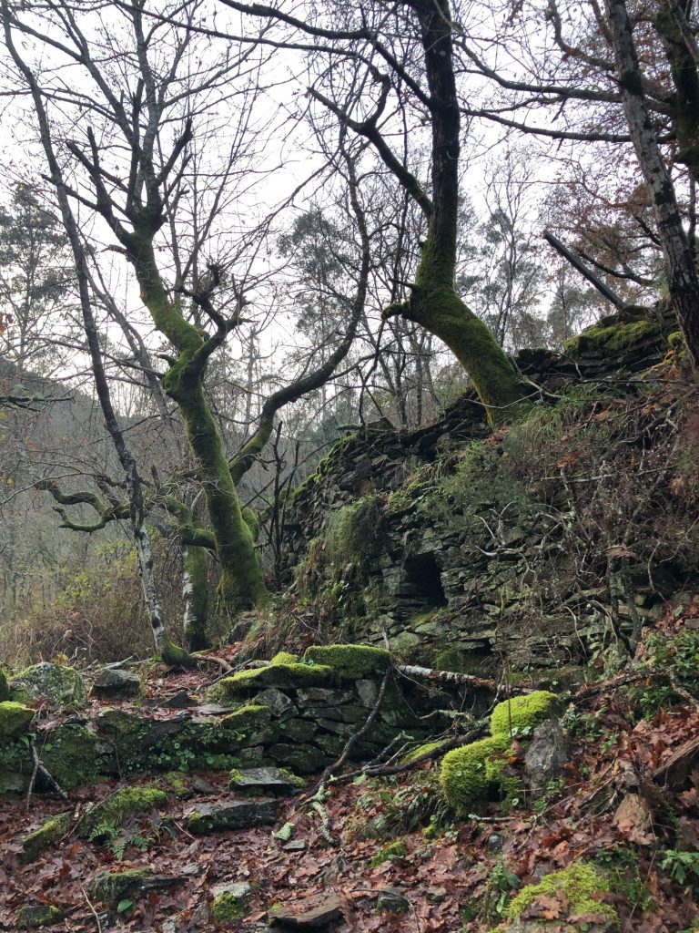
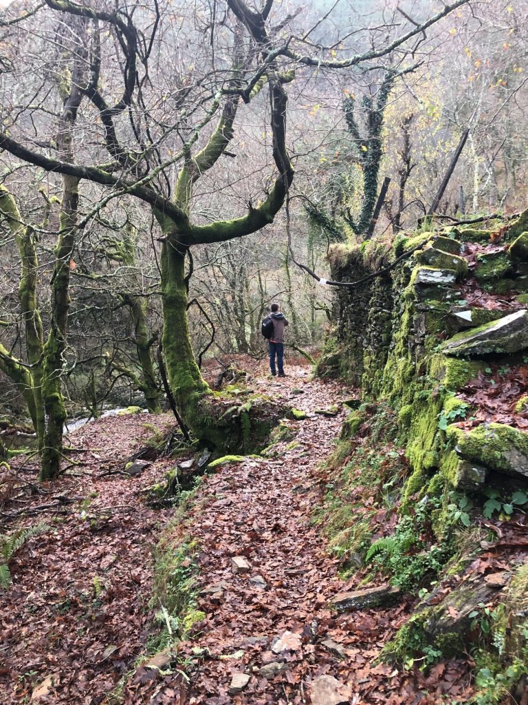
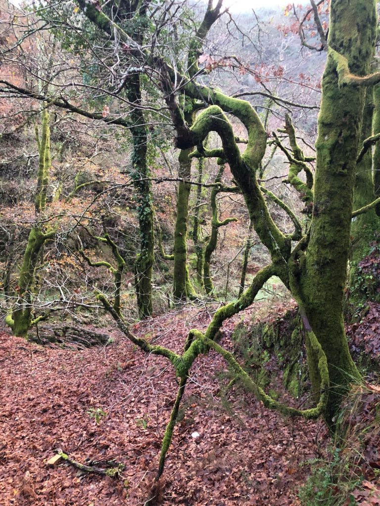
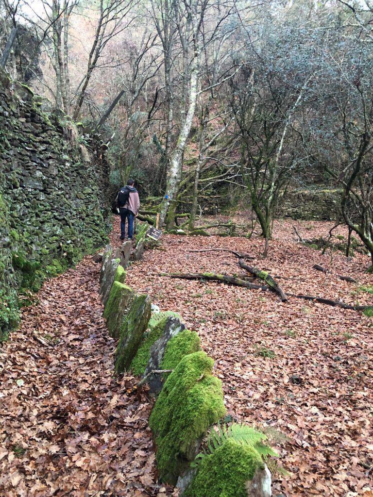
Ancient Abandoned Village of Berlengas
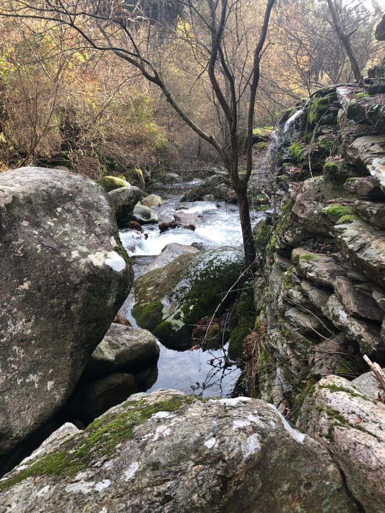
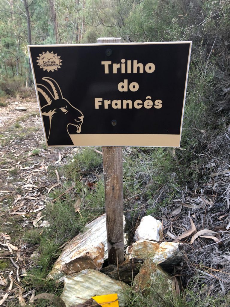
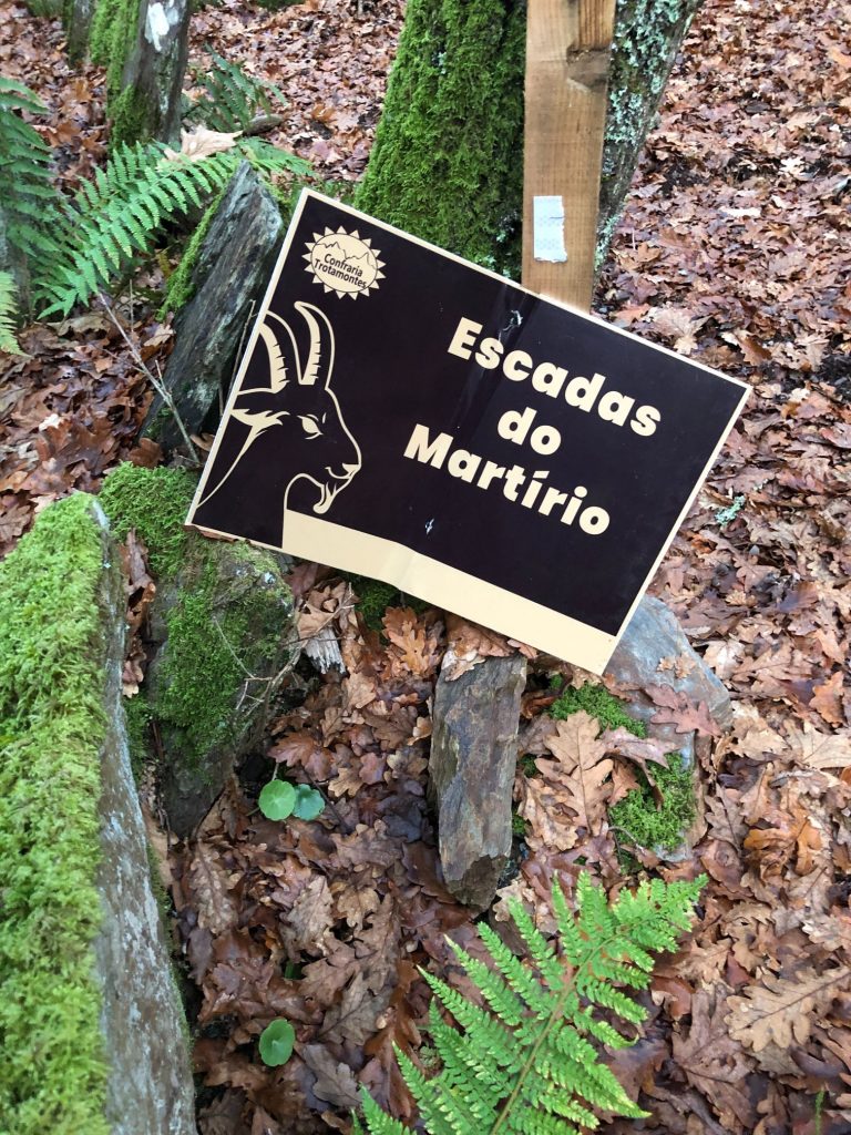
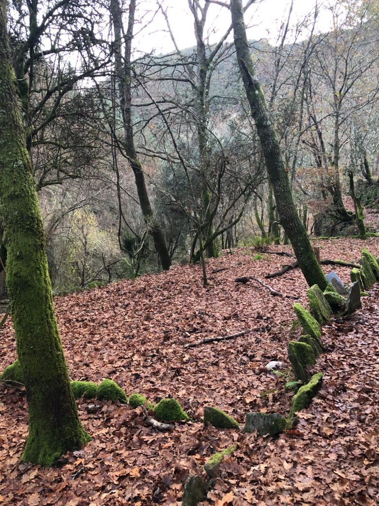
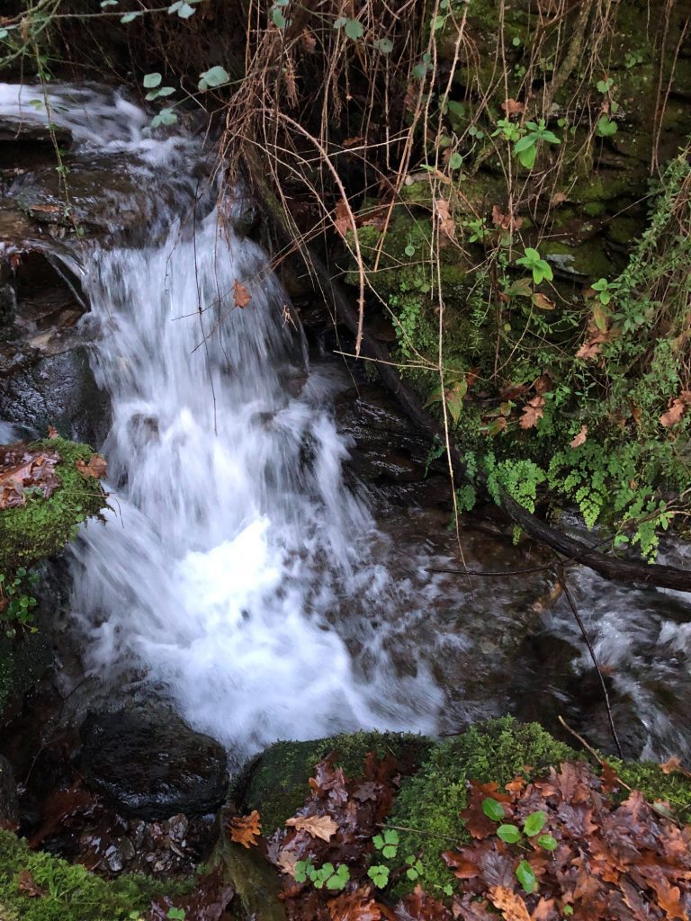
After the tranquil waterfall experience we continued on the 3.1 variant trail and alongside the glorious Agualva river. We passed through Trilo do Francês which has some narrow death defying pathways so please take care. We then entered the astonishing abandoned village of Berlengas which I loved. We encountered a small waterfall area that we had to cross which was not easy especially with my short legs! There was a lot of hand holding for safety measures and moral support. Then I just went for it and leaped like a frantic frog (ha ha). The area is more of a dense forest than a village and it is a spectacular sight to see in person. Lots of twisted contorted tree branches, abandoned ruins of houses and everything is covered in a blanket of green moss. We then viewed Escadas do Martirio and passed by many pretty smaller water courses which are part of the Teixeira river basin.
Narrow pathways! 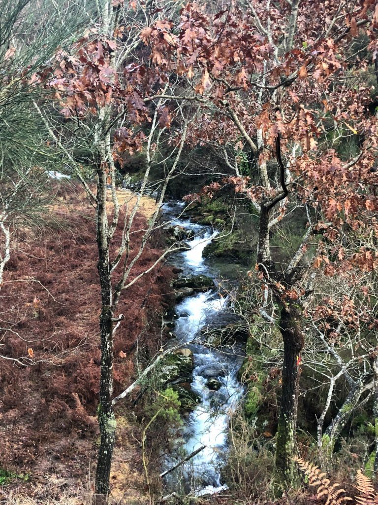
We had to cross this! HELP 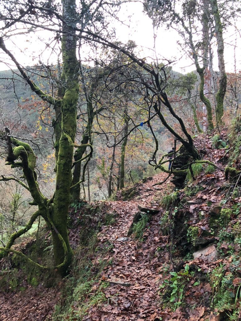
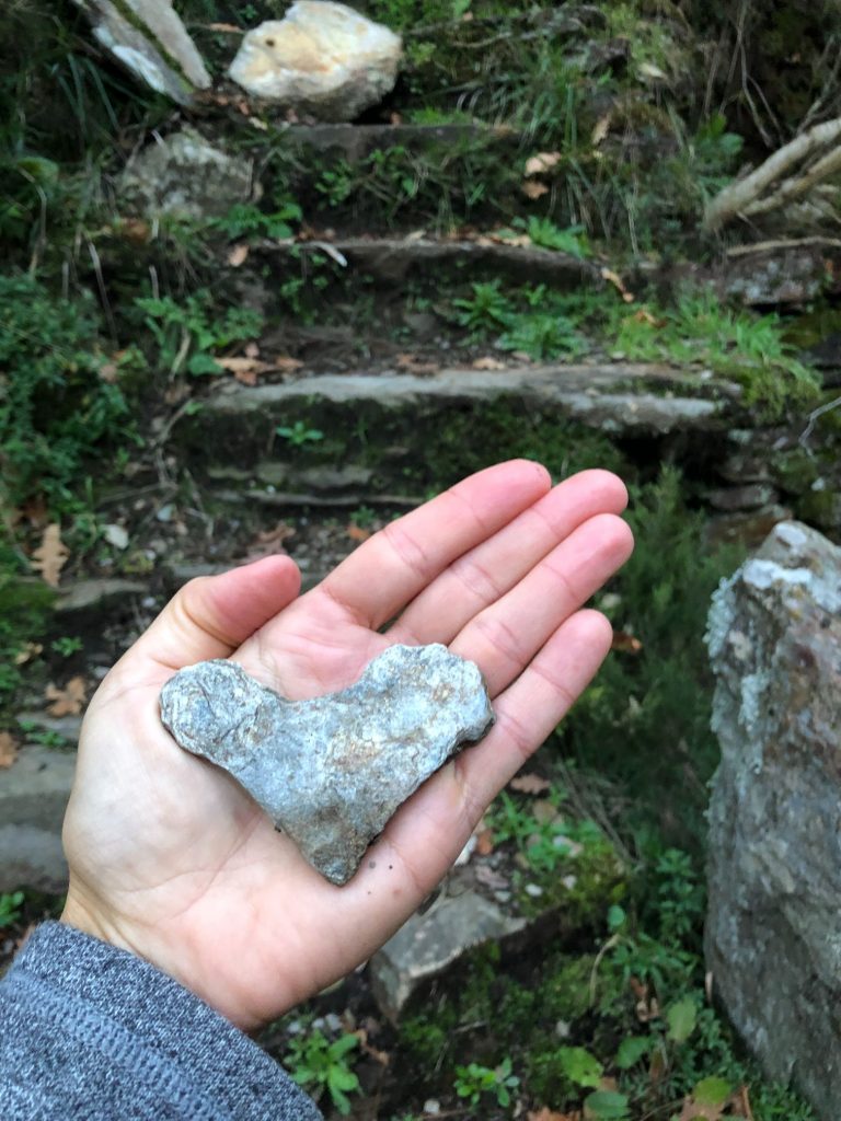
I found a slate heart XXX
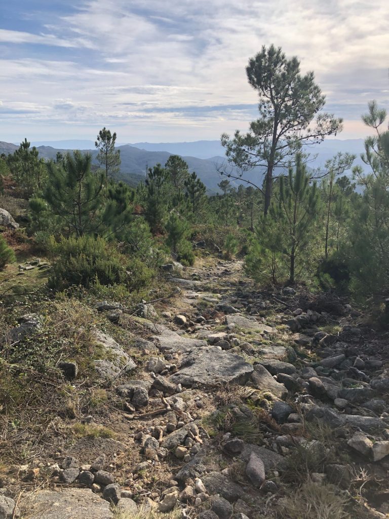
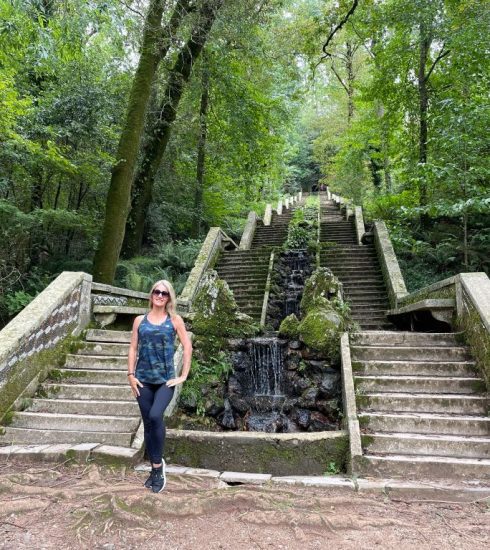
The Never Ending Staircase Story
This is where it got tricky and very dangerous. The stone steps were saturated with water, not just a bit but water was flowing down the steps very rapidly making it virtually impossible to climb. There were a lot more flooded areas and we made it across by jumping over the streams by standing on random rocks placed as stepping stones but they often moved as we stepped on them. We debated turning back at one point but persevered. Then it got a whole lot worse and dangerous as we miscalculated the time and how long it would take to complete the course so it started to get dark. Yes, 2 idiot Brits fumbling around a forest in the dark trying to see the steps and trying desperately not to have an accident. The trail is punishing as it now continues up several flights of steps and they go on and on and on. They are again flooded with water which makes it demanding and dangerous. It seemed like the flight of stairs was never going to end. I decided it was time to stop briefly for a banana in the dark, that sounds a little rude (ha ha). I foraged around in my backpack and found my bruised and battered banana. Then I caught a whiff of marijuana. There is definitely a wild plant that grows in the forests here that smells a lot like this drug. Not kidding I could have used a significantly sized spliff at this moment in time (ha ha). I eventually saw the little village of Lomba all lit up in the distance and I was happy as well as relieved. By the time we completed the 3.1 and returned to the village of Lomba it was dark and around 17.30. We made a quick stop to see the quaint chapel: Nossa Senhora dos Milagres (Chapel of Our Lady of Miracles) then continued on our journey. I stumbled across a weird and wonderful building which housed hundreds of pigeons, it was crazy and very noisy!
The Steps! 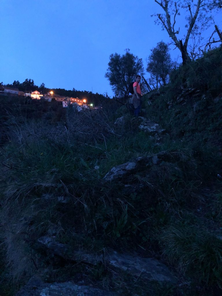
Pigeons
Misjudgement and Mayhem – The Dark and Dangerous Trail
The remainder of the trail did not have any highlights to view and somehow in my mind I assumed it might be a flat trail via a dirt track, how wrong was I (ha ha). This is where it all went a bit wrong. The pathway heading back to Côvo was very rocky underfoot and the terrain was very uneven with steep inclines in some areas. A lot of the pathway was again flooded and we couldn’t see anything. We used our phone torches and extra battery packs to light our path home. It was such a slow journey back in the pitch black hand in hand as it was very slippery and dangerous. It took us ages and we discovered that we still had about 5 km to get back to the car. After about 1 km at a snail’s pace hubby worked out that we could have taken the main road route from Lomba back to the car but it would result in a 14 km hike as opposed to a 5 km through crazy dangerous terrain. I am not lying when I say that I seriously considered turning back as it was ridiculous trying to stumble around on this pathway and I had visions of it taking about 5 hours because we just couldn’t speed up and hike fast. Also if we did get back to Lomba there would be no taxi as it was the 1st January so we would have to try and hitch hike, not a thought I relished.
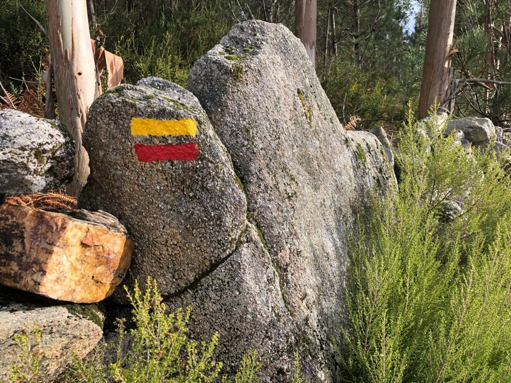
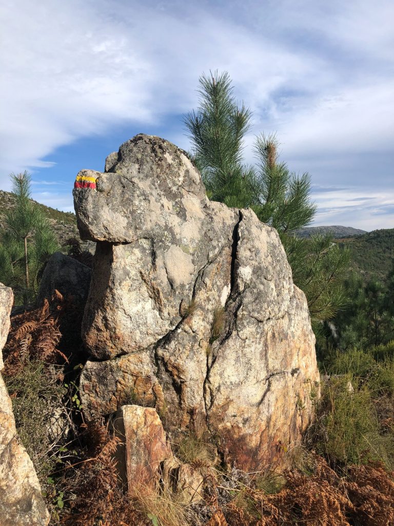
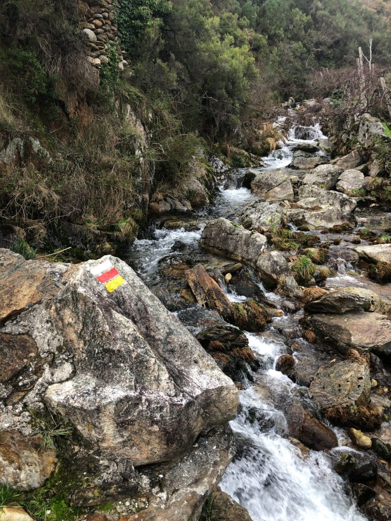
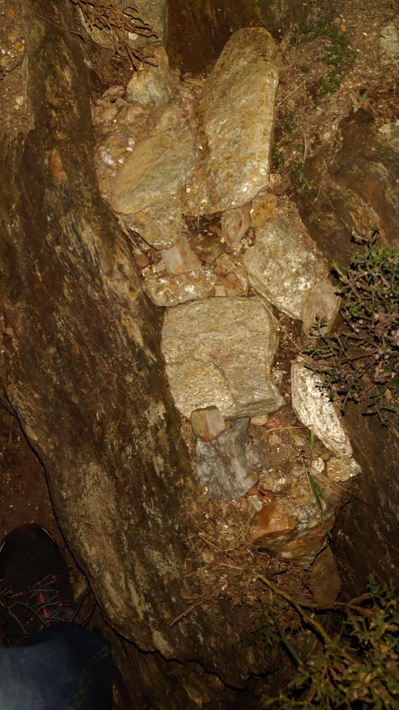
We continued on the trail which got even more treacherous as the narrow path opened out onto the open mountainside and wilderness with lots of loose shale underfoot. We were faced with steep inclines which meant we had to put our mountain goat climbing on all fours into practice and the worst part was we couldn’t see any of the red and yellow painted markers. What saved our lives was the little illuminated reflectors that were strategically placed to guide idiots like us safely home in the dark. Without these reflectors we would have not made it out for hours! I got a bit scared at one point and thought that we might be spending the night lost in the mountains. What made it worse was the rustling in the surrounding bushes as all the nocturnal animals came out to play, I was concerned about the big bad wolves (ha ha). Also we couldn’t see if we were close to a cliff edge or not as it was impossible to see our hands in front of our faces. The broom and gorse kept catching in my clothing, spiking my legs and ass! (ha ha).

Reflectors 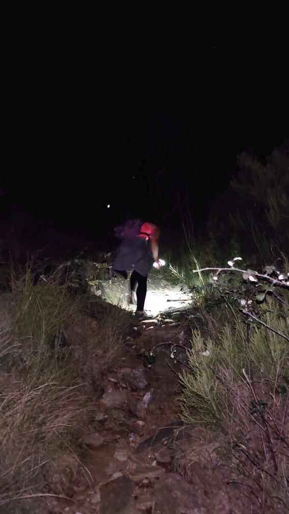
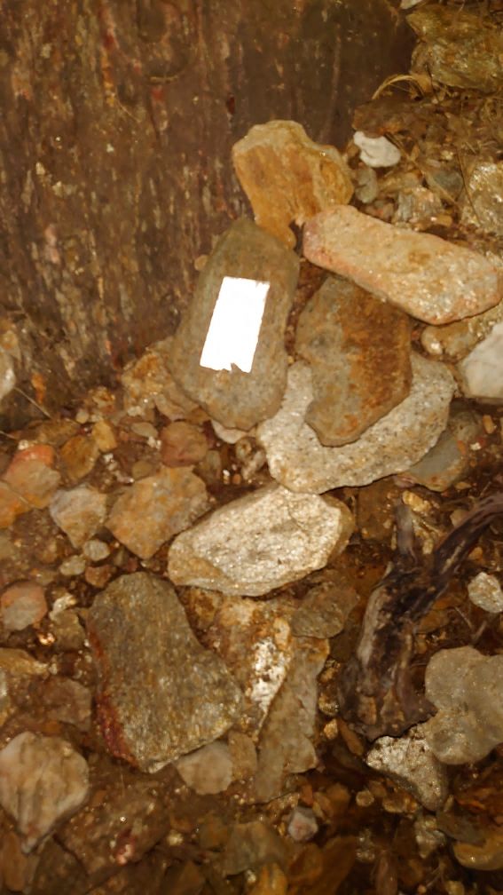
Reflectors
The Darkside and the Funny Side
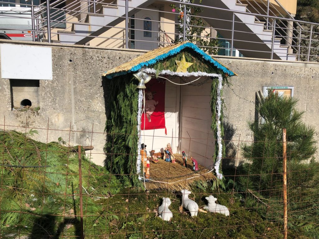
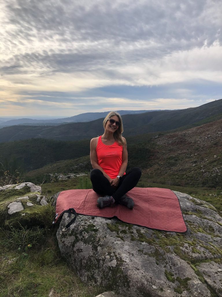
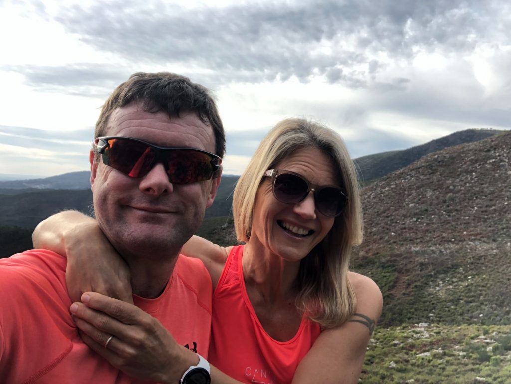
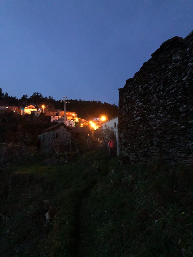
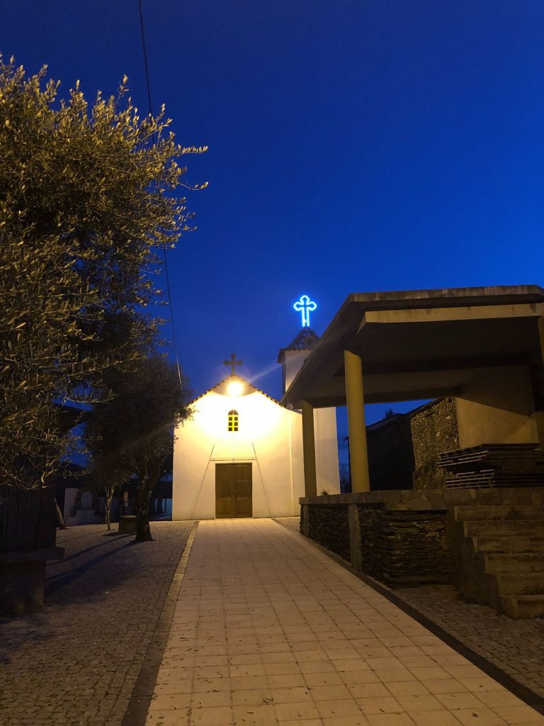
After a while we got to see the funny side and tried to pick up our pace. We even stopped for a little water break and to take a couple of selfies just in case no one believed us when we retold our crazy story. Although it was dark and evening time the weather was so mild that I didn’t even need to put my sweatshirt on and I am usually always cold due to my under active thyroid condition. This is us trying to recreate the famous Scream painting by the Norwegian artist Edvard Munch. It didn’t quite work as hubby could only use one hand as he has the longer arms so is the selfie phone holder (ha ha). Another positive was that the rocks and stones glistened so magically underfoot by the dark of the night. I think the moral of the story is when an official leaflet says a 7.5 km trail will take 4 ½ hours and an added 2.8 km will take a further 1 ½ hours, one needs to have faith in the experts and believe the writers as they know their stuff! The cocky Brits thought 7.5 km, that ain’t going to take us 4 ½ hours but these timings take into account the difficult terrain which slows one down considerably. Believe me when I say a lesson has been learnt the hard way. We set off at 12:30 and arrived back at our car at 20:00 so it took us 7 ½ hours which is about right as the trail is a total of 6 hours and I always add on 90 minutes for 2 breaks including lunch and time to stop for photos along the way. I was so elated to see the lights in the horizon and know that Côvo is reachable and not a figment of my imagination. The little Presépio was all lit up in the evening which was pretty. The worst part was the 1 hour 45 min journey home with no shops or cafes open so I couldn’t calm myself with a caffeine or sugar fix. Even the petrol stations were closed and it would have been an extra 3 km to get to the nearest services so we survived the journey home with a lot of storytelling, nonsense chatter and laughs.
Shiny 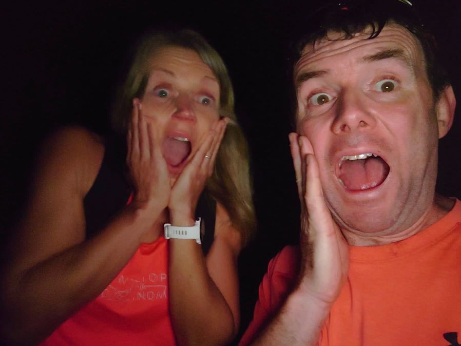
Us recreating the famous Scream painting by the Norwegian artist Edvard Munch (ha ha). 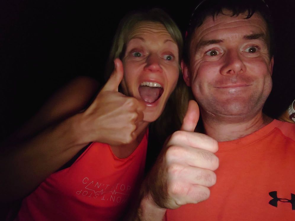
Still Positive and Smiling JUST! 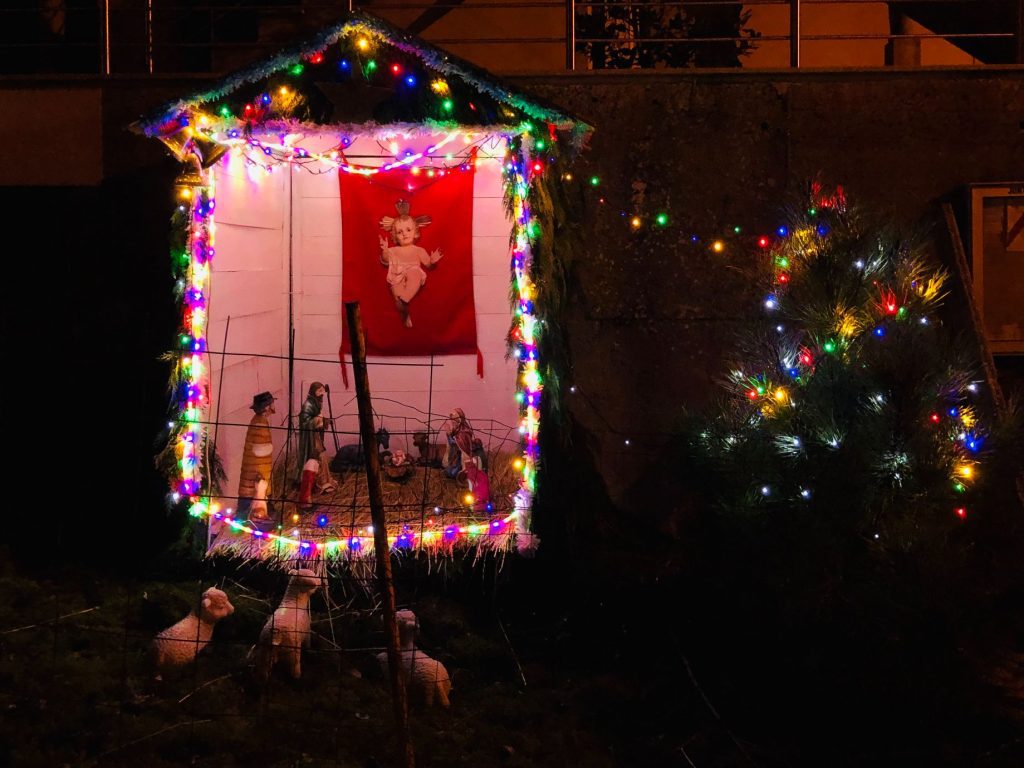
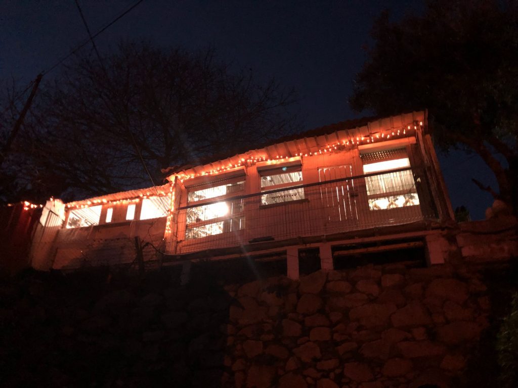
Presépio by Night
Overview – Our First Official Hiking Adventure of 2022
Wow what a day! It’s not difficult to understand why Serra da Freita has gained the nickname: The Magic Mountains. Despite the night-time drama we did have a fantastic crazy adventure and really enjoyed our first official hiking trip of 2022. It’s certainly not a hike we will forget in a hurry (ha ha). I would definitely say that this trail is of high difficulty especially the 3.1 variant due to the steep steps and flooding of areas in January. If you enjoy mountain mastiff, waterfalls, lush forests and streams, abandoned remote villages lost in time, granaries and a trail that is rich in history, architectural, natural beauty with beautiful mountain landscapes then this is the trail for you. What a way to start the year! Some folk may be sleeping off their hangovers or soaking up their alcohol with a greasy full English, not us, we hike off our hangovers from hell (ha ha).


)